

Sign up for our Newsletter
More info
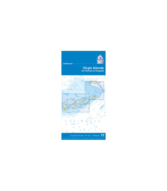
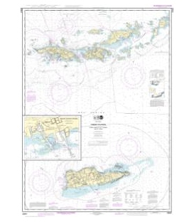
NV-Charts Waterproof 12: Virgin Islands (St. Thomas to Anegada), 2010 Ed.
NV Charts waterproof • 12 Virgin Islands • St. Thomas to Anegada, Edition 2010 • 2 Coastal Charts • 4 Detail • 24"x 36" waterproof paper • soundings in meter • Maritime Buoyage System B • navigation warnings marked in red • cruising information written in green • courses and distances • latitude and longitude borders on each chart • GPS waypoints in WGS 84 • marked anchorages • key for depth features

