Sign up for our Newsletter


More info
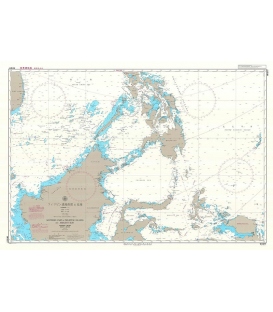
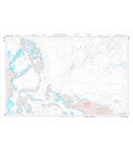
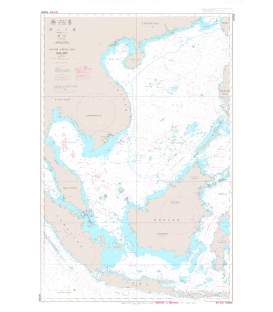
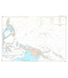
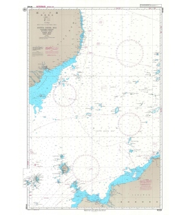
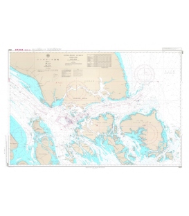
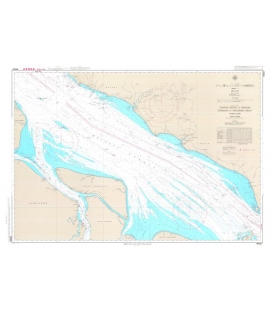
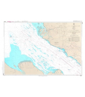
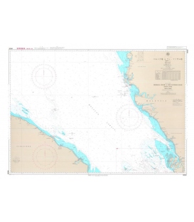
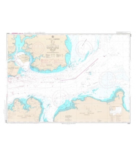
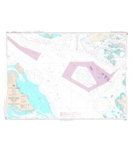
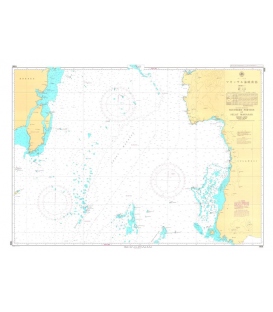
Japan Hydrographic Association (JHA) Nautical Chart 1906 Southern Portion of Selat Makasar
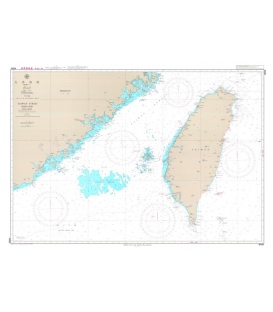
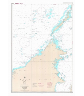
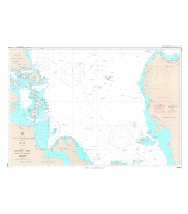
Japanese official paper charts published by the Japan Coast Guard (JCG). All W charts are written in bilingual, Japanese and English. The color of land is printed in grey. Edition Feb-08, Scale 500,000, Chart Dimensions 1,085mmx765mm