Sign up for our Newsletter


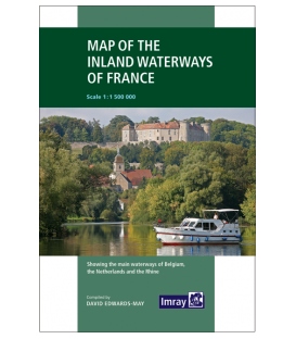
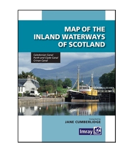
Map of the Inland Waterways of Scotland, 2nd Edition 2013


Map of the Inland Waterways of Scotland, 2nd Edition 2013, by Jane Cumberlidge
The second edition of Imray's Map of the Inland Waterways of Scotland has been updated. Contact details for the new Scottish Waterways body that replaces British Waterways have been added. The descriptive text has been improved with the addition of more photos.
The Map of the Inland Waterways of Scotland provides nedium scale coverage of the Caledonian Canal, Forth and Clyde and Crinan Canal. It also includes and coverview map which shows the geographical relationship of the Scottish canals and disused waterways.
The detailed mapping is supported by useful notes on dimensions, navigation, contacts and facilities. Jane Cumberkidge has also written a more general narrative on the three main waterways. This provides background information and is a guide to places to visit and see along each canal.
Jane Cumberlidge is the author of Inland Waterways of Great Britain and Inland Waterways of Ireland. She also complied Imray's Map of the Inland Waterways of Great Britain.
Publication details