Sign up for our Newsletter


More info
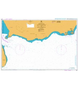
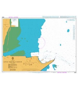
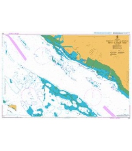
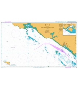
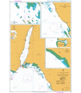
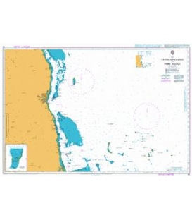
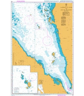
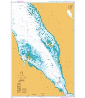
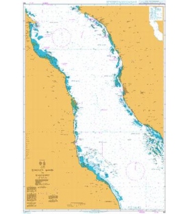
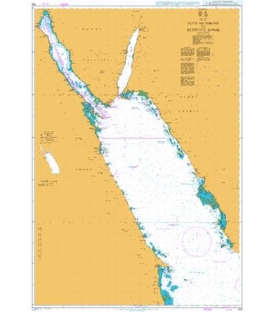
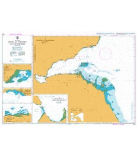
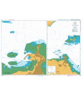
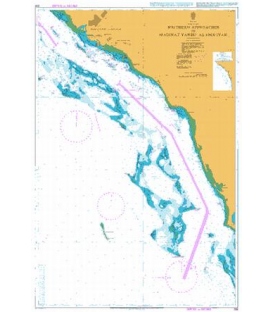
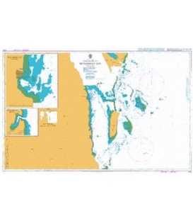
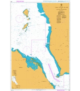
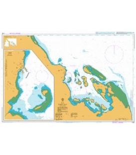
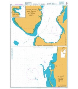
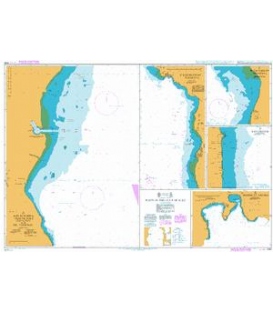
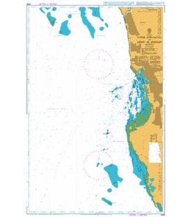
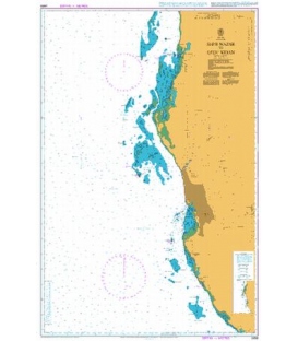
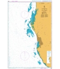
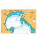
British Admiralty Nautical Chart 3043 Ports on the Coast of Egypt
is corrected up to date. Admiralty standard nautical charts comply with Safety of Life at Sea (SOLAS) regulations and are ideal for professional, commercial and recreational use. Charts within the series consist of a range of scales, useful for passage planning, ocean crossings, coastal navigation and entering port. Mariners should always use the largest scale nautical chart appropriate to their needs. In particularly busy seaways such as the English Channel, Gulf of Suez and the Malacca and Singapore Straits, the standard nautical charts are supplemented by mariners routeing guides which provide advice on route planning in these complex areas.
Chart 3043
Chart INT. 7131
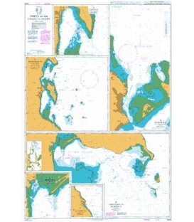
Main Chart Details
- Chart Title: Ports on the Coast of Egypt
- Publication Date: 19/06/1997
- Latest Edition date: 24/01/2019
- Chart Size: 748 x 1100 (mm)
Chart Panel Details
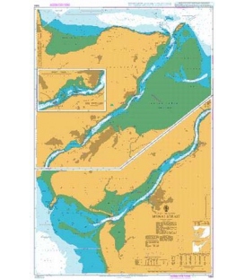
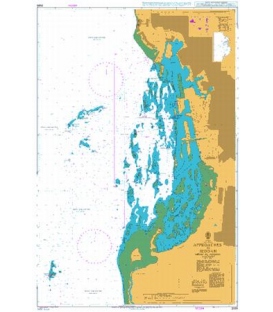
- Panel Name Plan A - Safaga (Bur Safajah)
- Natural Scale 35000
- North Limit 26 45'.20N
- East Limit 34 01'.70E
- South Limit 26 40'.40N
- West Limit 33 55'.80E
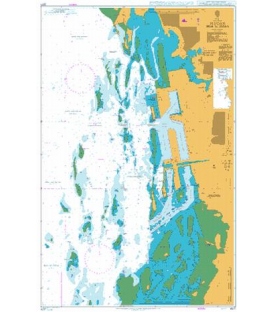
- Panel Name Plan B - Hurghada (Ghardaqah)
- Natural Scale 25000
- North Limit 27 20'.20N
- East Limit 33 54'.30E
- South Limit 27 11'.40N
- West Limit 33 49'.60E
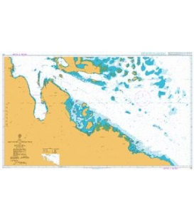
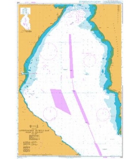
- Panel Name Plan C - Approaches to Safaga (Bur Safajah)
- Natural Scale 75000
- North Limit 26 52'.00N
- East Limit 34 12'.10E
- South Limit 26 36'.50N
- West Limit 33 53'.00E
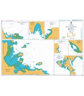
- Panel Name Plan D - Approaches to Berenice (Barnis)
- Natural Scale 60000
- North Limit 23 58'.10N
- East Limit 35 50'.50E
- South Limit 23 44'.00N
- West Limit 35 24'.20E
- Panel Name Plan E - Berenice (Barnis)
- Natural Scale 25000
- North Limit 23 57'.00N
- East Limit 35 32'.10E
- South Limit 23 53'.90N
- West Limit 35 28'.80E
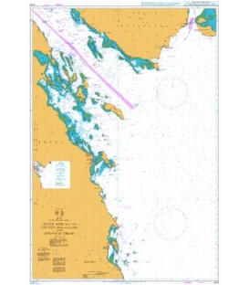
- Panel Name Plan F - Al Qusayr
- Natural Scale 75000
- North Limit 26 10'.00N
- East Limit 34 21'.00E
- South Limit 26 03'.50N
- West Limit 34 14'.00E