Sign up for our Newsletter


More info
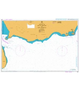
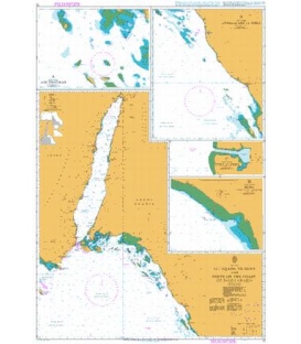
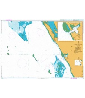
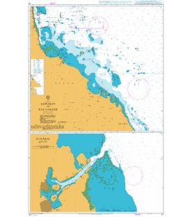
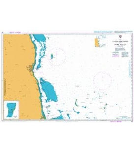
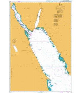
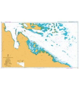
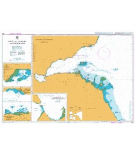
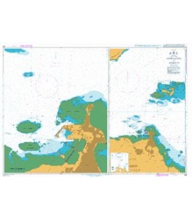
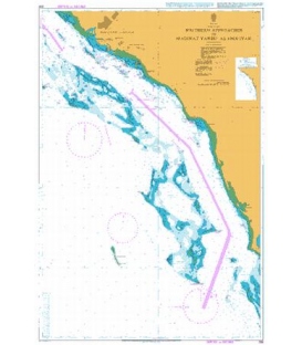
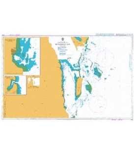
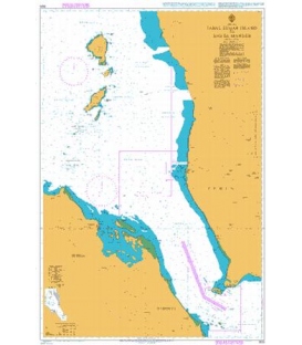
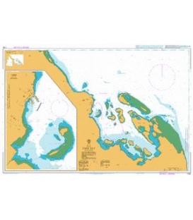
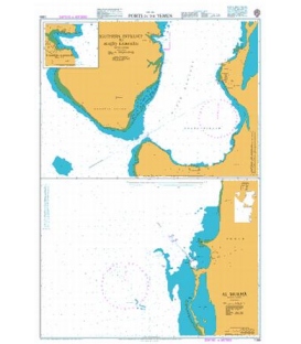
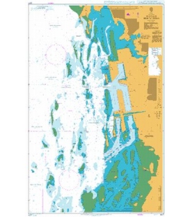
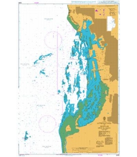
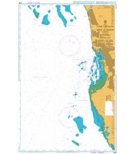
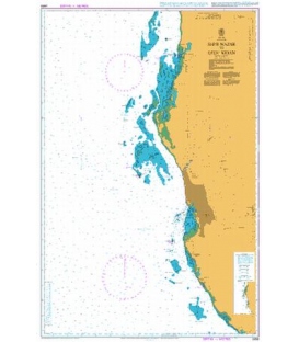
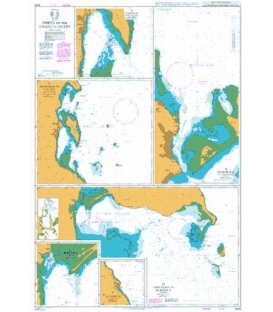
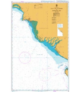
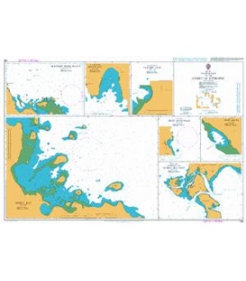
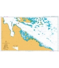
British Admiralty Nautical Chart 168 Anchorages on the Coast of Eritrea
is corrected up to date. Admiralty standard nautical charts comply with Safety of Life at Sea (SOLAS) regulations and are ideal for professional, commercial and recreational use. Charts within the series consist of a range of scales, useful for passage planning, ocean crossings, coastal navigation and entering port. Mariners should always use the largest scale nautical chart appropriate to their needs. In particularly busy seaways such as the English Channel, Gulf of Suez and the Malacca and Singapore Straits, the standard nautical charts are supplemented by mariners routeing guides which provide advice on route planning in these complex areas.
Chart 168
Main Chart Details
- Chart Title: Anchorages on the Coast of Eritrea
- Publication Date: 30/08/1985
- Latest Edition date: 03/10/2002
- Chart Size: 980 x 640 (mm)
Chart Panel Details
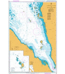
- Panel Name Plan A - Bera'isole Bahir Selat'e
- Natural Scale 75000
- North Limit 13 46'.29N
- East Limit 42 17'.76E
- South Limit 13 37'.80N
- West Limit 42 04'.60E
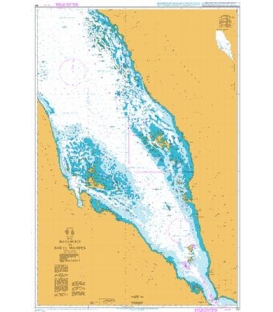
- Panel Name Plan B - Anfile Bay
- Natural Scale 40000
- North Limit 14 51'.28N
- East Limit 40 57'.32E
- South Limit 14 42'.21N
- West Limit 40 43'.34E
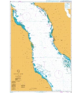
- Panel Name Entrance to Ghubbet Mus Nefit
- Area Name Plan C - Dehalak' Deset
- Natural Scale 37500
- North Limit 15 44'.62N
- East Limit 40 00'.19E
- South Limit 15 39'.95N
- West Limit 39 53'.00E
- Panel Name Melita Bay
- Area Name Plan D - Zula Bahir Selat'e
- Natural Scale 25000
- North Limit 15 16'.83N
- East Limit 39 50'.00E
- South Limit 15 13'.95N
- West Limit 39 47'.45E
- Panel Name Dissei Anchorage
- Area Name Plan E - Dissei Island
- Natural Scale 15000
- North Limit 15 28'.55N
- East Limit 39 46'.35E
- South Limit 15 27'.10N
- West Limit 39 44'.95E
- Panel Name Port Smyth
- Area Name Plan F - Shumma
- Natural Scale 15000
- North Limit 15 32'.91N
- East Limit 40 00'.25E
- South Limit 15 31'.45N
- West Limit 39 58'.85E
- Panel Name Dolphin Cove
- Area Name Plan G- - Zula Bahir Selat'e
- Natural Scale 12500
- North Limit 15 09'.34N
- East Limit 39 51'.00E
- South Limit 15 07'.90N
- West Limit 39 49'.83E