- Home
- >
- Nautical Charts
- >
- Imray-Iolaire Nautical Charts
- >
- Greece and Turkey Region
- >
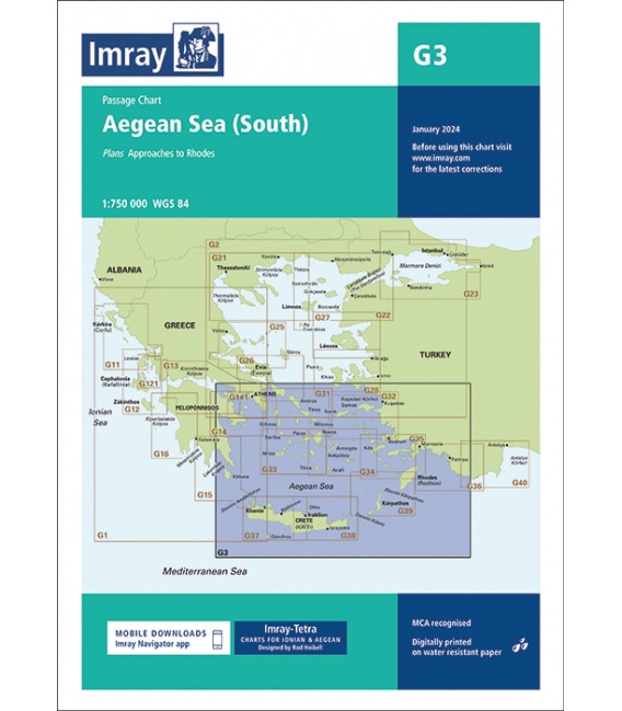
- Imray Chart G3: Aegean Sea (South), Jan 2024 Edition
Categories
- CLEARANCE
- New Editions
- Nautical Charts
- Nautical Books
- E-Readers & E-Books
- Occupational Safety & Health Administration (OSHA)
- Destinations
- Code of Federal Regulations (CFR)
- USCG Exam Study Materials
- International Maritime Org. (IMO)
- Sealite Aids to Marine Navigation
- Flags
- Digital Charts
- Nautical Software
- Marine Supplies
- Navigation Equipment
- Intracoastal Waterway
- Ocean Cruising
- Great Circle Route
- Gift Shop


Sign up for our Newsletter
II-G003
New product
Online Chart Viewer
- Stock code: ICG3-3
- Author: Imray
- Publisher: Imray
- Publication details: Sheet size 640 x 900mm. Waterproof. Folded in plastic wallet or flat.
- Edition date: 2024
- Printed and corrected to: January 2024
- ISBN: 9781786795441
Imray Chart G3: Aegean Sea (South), Jan 2024 Edition
Scale: 1:750 000 WGS 84
Includes plan:
Approaches to Rhodes (1:15 000)
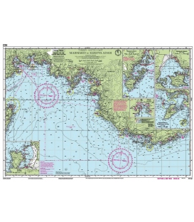
Imray-Tetra charts for the Ionian and Aegean are widely acknowledged as the best available for the cruising sailor. They combine the latest official survey data with first-hand information gathered by Rod and Lucinda Heikell. The chart is designed to be used alongside Imray pilot guides of the area. Like all Imray charts, they are printed on water resistant Pretex paper for durability, and they include many anchorages, facilities and inlets not included on official charts.
This edition includes the latest official data combined with additional information sourced from Imray''s network to make it ideal for small craft. It includes the latest official bathymetric surveys. There has been general updating throughout.
Reviews
27 other products in the same category:
Customers who bought this product also bought:
- About Us
- Our Services
- Ordering & Shipping
- Resource Links
- Blog
- CLEARANCE
- New Editions
- Nautical Charts
- Nautical Books
- E-Readers & E-Books
- Occupational Safety & Health Administration (OSHA)
- Destinations
- Code of Federal Regulations (CFR)
- USCG Exam Study Materials
- International Maritime Org. (IMO)
- Sealite Aids to Marine Navigation
- Flags
- Digital Charts
- Nautical Software
- Marine Supplies
- Navigation Equipment
- Intracoastal Waterway
- Ocean Cruising
- Great Circle Route
- Gift Shop
Maryland Nautical uses cookies to enhance your e-commerce experience. To view more information about our cookie use, click here to view our Privacy Policy.

