Sign up for our Newsletter


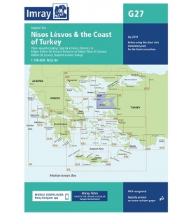
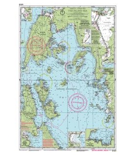
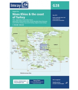
Imray Chart G28: Nísos Khíos & the Coast of Turkey, 2018 Edition

Online Chart Viewer
Author Imray
Publisher Imray
ISBN 9781786790156
Edition date 2018
Printed and corrected to May 2018
Publication details Sheet size 640 x 900mm. Waterproof. Folded in plastic wallet or flat.
More info
G28 Nísos Khíos & the Coast of Turkey, 2018 Edition
Scale: 1:190,000 WGS 84
Imray
Plans included:
- Approaches to Psará (Nísos Psará) (1:15,000)
- Approaches to Khíos (Nísos Khíos) (1:20,000)
- Órmos Mandráki (Nísos Oinoússa) (1:8,000)
- Çesme Körfezi (Turkey) (1:18,000)
- Foça Limani (Turkey) (1:20,000)
- Sigaçik Limani (Turkey) (1:18,000)
On this 2018 edition full details of the new TSS schemes are shown at Izmir Körfezi, Çandarli Körfezi and Nemrut Koyu- revised depths and harbour developments are shown at Psará, Khíos, Çesme and Foça- the Sigaçik Limani sketch plan has been replaced with a fully WGS84-compatible version- the latest known depths, restricted areas and marine farms have been applied to the main chart- and details of the recently deployed AIS transmitters are shown across the chart.