- Home
- >
- Nautical Books
- >
- Cruising Guides
- >
- East Coast
- >
- Virginia Cruising Guide 2024-2025 (Chartbook)
Categories
- CLEARANCE
- New Editions
- Nautical Charts
- Nautical Books
- E-Readers & E-Books
- Occupational Safety & Health Administration (OSHA)
- Destinations
- Code of Federal Regulations (CFR)
- USCG Exam Study Materials
- International Maritime Org. (IMO)
- Sealite Aids to Marine Navigation
- Flags
- Digital Charts
- Nautical Software
- Marine Supplies
- Navigation Equipment
- Intracoastal Waterway
- Ocean Cruising
- Great Circle Route
- Gift Shop


Sign up for our Newsletter
DNVCG
New product
More info
Virginia Cruising Guide 2024-2025 (Chartbook)
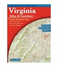
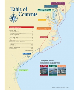
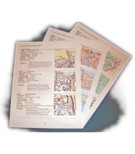
Our Virginia Cruising Guide covers Tidewater Virginia, southern Chesapeake Bay, Potomac River plus the Atlantic Ocean shores and bays. There are enlargements of Ocean City and Chincoteague Island. VA Charts 12 through 37 are at a scale of 1:80,000. The 44 insets are in various scales from 1:40,000 to 1:20,000.
Reviews
22 other products in the same category:
Customers who bought this product also bought:
- About Us
- Our Services
- Ordering & Shipping
- Resource Links
- Blog
- CLEARANCE
- New Editions
- Nautical Charts
- Nautical Books
- E-Readers & E-Books
- Occupational Safety & Health Administration (OSHA)
- Destinations
- Code of Federal Regulations (CFR)
- USCG Exam Study Materials
- International Maritime Org. (IMO)
- Sealite Aids to Marine Navigation
- Flags
- Digital Charts
- Nautical Software
- Marine Supplies
- Navigation Equipment
- Intracoastal Waterway
- Ocean Cruising
- Great Circle Route
- Gift Shop
Accept
Maryland Nautical uses cookies to enhance your e-commerce experience. To view more information about our cookie use, click here to view our Privacy Policy.


