Sign up for our Newsletter


More info
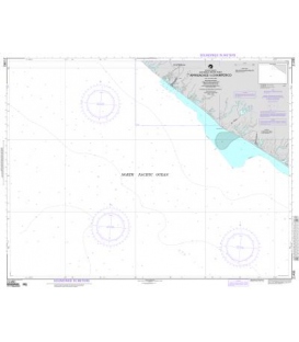
British Admiralty Routeing Chart 5127 North Pacific Ocean
These charts are essential for use in passage planning for ocean voyages. They include routes and distances between major ports, ocean currents, ice limits, load lines and wind roses, with expected meteorological and oceanographic conditions for each month of the year. Five charts cover the oceans of the world; North Atlantic, South Atlantic, North Pacific, South Pacific and the Indian Ocean.
Main Chart Details
- Chart Title: North Pacific Ocean Routeing Chart
- Publication Date: 24/02/2005
- Latest Edition date: 03/01/2019
- Chart Size: 1020 x 640 (mm)
Chart Panel Details
- Panel Name North Pacific Ocean Routeing Chart
- Natural Scale 20000000
- North Limit 69 12'.50N
- East Limit 77 00'.00W
- South Limit 18 00'.00S
- West Limit 123 25'.70E
Co-ordinates given are usually those of the four extremities of the chart. In many cases not all the area within will be fully charted*.Customers should check that the chart meets their requirements by viewing the chart image (where available).Mariners should always use the largest scale navigational chart available.
*Reasons may include
- Continuation of coverage of a small part outside the main area of chart coverage e.g a river.
- Inset plans and the chart title block and notes also take up space, therefore geographical information cannot be shown in this area.
- A need to refer to larger scale of chart, such waters are often "blued out" to avoid excessive maintenance work applying numerous NM corrections to an area of the small scale chart where the navigator will be using a larger scale chart.
- Coverage is better served from a different chart because of typical routeings.