Sign up for our Newsletter


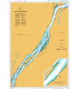
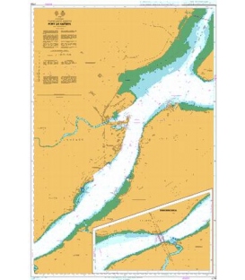
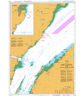
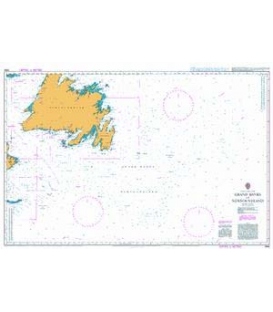
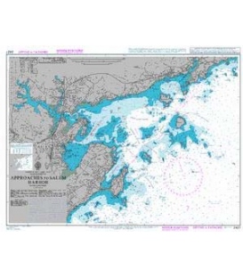
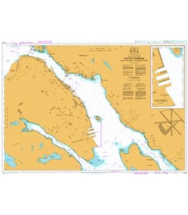
British Admiralty Nautical Chart 4738 Red Island to Pinchgut Point
*** Canceled with no UKHO replacement in NM 44/19; however, there is a Canadian equivalent (CN4617)
More info
British Admiralty Nautical Chart 4738 Red Island to Pinchgut Point
is corrected up to date. Admiralty standard nautical charts comply with Safety of Life at Sea (SOLAS) regulations and are ideal for professional, commercial and recreational use. Charts within the series consist of a range of scales, useful for passage planning, ocean crossings, coastal navigation and entering port. Mariners should always use the largest scale nautical chart appropriate to their needs. In particularly busy seaways such as the English Channel, Gulf of Suez and the Malacca and Singapore Straits, the standard nautical charts are supplemented by marinersÕ routeing guides which provide advice on route planning in these complex areas.
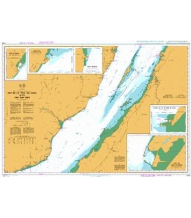
Chart 4738
Main Chart Details
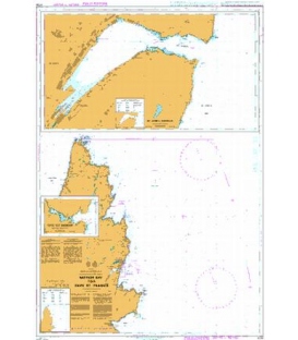
- Chart Title: Red Island to Pinchgut Point
- Publication Date: 27/04/2006
- Latest Edition date: 20/01/2011
- Chart Size: 961 x 726 (mm)
Chart Panel Details
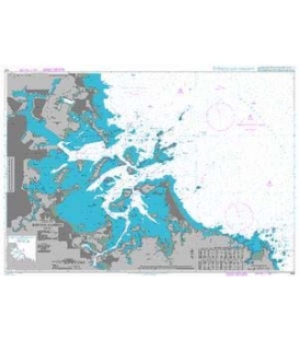
- Panel Name Red Island to Pinchgut Point
- Area Name Canada - Newfoundland and Labrador
- Natural Scale 40000
- North Limit 47 37'.66N
- East Limit 53 42'.00W
- South Limit 47 21'.47N
- West Limit 54 17'.04W
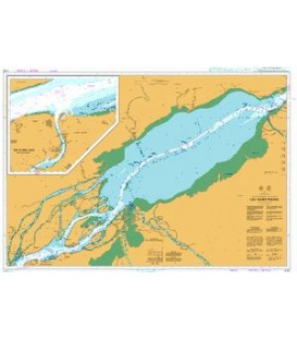
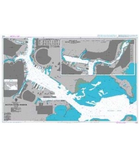
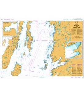
- Panel Name Buffet Harbour
- Area Name Placentia Bay
- Natural Scale 6000
- North Limit 47 31'.78N
- East Limit 54 04'.57W
- South Limit 47 31'.19N
- West Limit 54 05'.46W
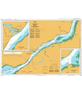
- Panel Name Long Harbour
- Area Name Placentia Bay
- Natural Scale 6000
- North Limit 47 25'.78N
- East Limit 53 48'.90W
- South Limit 47 25'.08N
- West Limit 53 49'.91W