

Sign up for our Newsletter
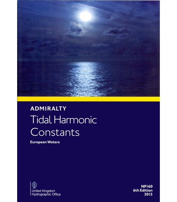
NP160 Tidal Harmonic Constants - European Waters, 6th Edition 2015
*** 4 Dec 2017, withdrawn without replacement. (This data is in the Admiralty Tide Tables)
ISBN: 978-0-70-772-1583 (9780707721583)
| Admiralty Chart Catalogue | Admiralty Publications | |
 |
 |
British Admiralty NP160 Tidal Harmonic Constants - European Waters, 6th Edition 2015
NP160
Publication Details
- Number NP160
- Title Tidal Harmonic Constants - European Waters
- Sub Title n/a
- Type Tidal Publications
- SubType
- Edition No 6
- Pub Year 2015
In January 1990 the United Kingdom Hydrographic Office published a PC version of the long established Admiralty Simplified Method of Tidal Prediction – NP159A, which has now been suspended by SHM for Windows (DP560). Dp560 requires data already published annually in Part III of Admiralty Tide Tables to be keyed in so as to compute tidal predictions for any chosen data. Many users of NP159A asked for Harmonic Constituent values listed in Part III of Admiralty Tide Tables Volume 1 (European Waters) to be made available separately from the parent volume. Edition 1 of this publication issued in July 1990 was in response to those requests, and subsequent editions have been published at 5 yearly intervals. It is not intended to be published annually. The harmonic constants listed in this Sixth Edition are the same as those which are included in the 2015 edition of Admiralty Tide Tables Volumes 1 and 2 for European Waters. The harmonic constants listed herein, and in all four volumes of Admiralty Tide Tables, are intended for use with the Simplified Harmonic Method of Tidal Prediction.
The result obtained will not be exactly the same as the daily Standard Port predictions listed in Part I of Admiralty Tide Tables or as obtained from Admiralty Digital Publication Total Tide for which many more harmonic constituents – sometimes in excess of 140 are used, and can thus be expected to be of greater accuracy than those calculated by DP560.
Except where indicated to the contrary, all harmonic constants listed are based on observations lasting for at least one month. All times of predictions calculated by DP560 are in the same Zone Time as the harmonic constants, Charges in Zone time are clearly annotated on the relevant pages.
All predicted heights are given in meters above Charts Datum, which is taken as the datum of depths on the latest edition of the largest scale Admiralty Chart. In the British Isles, Chart Datum at all ports is approximately the level of Lowest Astronomical Tide (LAT). All metric charts of these waters are referred to this Datum. Predictions calculated by DP560 using the harmonic constants herein are valid for average meteorological conditions. It follows, therefore, that when such conditions are not average the actual tides may differ from those predicted. Under extreme conditions these differences can be very large. Users of this publication and of DP560 are asked to keep the United Kingdom Hydrographic Office informed of any inaccuracies noted and are invited to make suggestions for the improvement of the two publications.

