- Home
- >
- Nautical Books
- >
- Canadian Hydrographic
- >
- Canadian Hydrographic Sailing Directions
- >
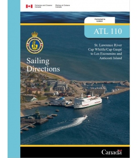
- ATL110E: St. Lawrence River, Cap Whittle/Cap Gaspé to Les Escoumins and Anticosti Island, 2021
Categories
- CLEARANCE
- New Editions
- Nautical Charts
- Nautical Books
- E-Readers & E-Books
- Occupational Safety & Health Administration (OSHA)
- Destinations
- Code of Federal Regulations (CFR)
- USCG Exam Study Materials
- International Maritime Org. (IMO)
- Sealite Aids to Marine Navigation
- Flags
- Digital Charts
- Nautical Software
- Marine Supplies
- Navigation Equipment
- Intracoastal Waterway
- Ocean Cruising
- Great Circle Route
- Gift Shop


Sign up for our Newsletter
CNSD-ATL110E
New product
ATL110E: St. Lawrence River, Cap Whittle/Cap Gaspé to Les Escoumins and Anticosti Island, 2021
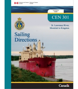
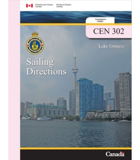
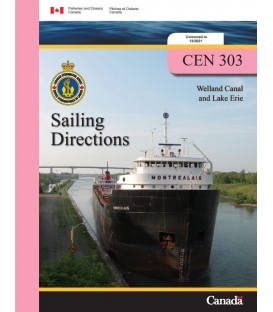
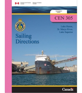
This publications contain all the detailed information, such as natural characteristics, geography, climatic variations, and wharves for each region. They are great for planning trips and ensuring mariner safety. Sailing Directions are the indispensable companions to charts. They include information not included on a chart such as descriptions (including photographs) of the best approaches to harbours, harbour facilities, anchorages, local history, rules, regulations, and table of distances. The First Edition of Sailing Directions, ATL 110E St. Lawrence River Cap Whittle/Cap Gaspé to Les Escoumins and Anticosti Island, 2002, has been complied from Canadian Government and other information sources. In general, all hydrographic terms used in this booklet are in accordance with the meanings given in the Hydrographic Dictionary (Special Publication No. 32), published by International Hydrographic Bureau.... ISBN:
Reviews
30 other products in the same category:
Customers who bought this product also bought:
- About Us
- Our Services
- Ordering & Shipping
- Resource Links
- Blog
- CLEARANCE
- New Editions
- Nautical Charts
- Nautical Books
- E-Readers & E-Books
- Occupational Safety & Health Administration (OSHA)
- Destinations
- Code of Federal Regulations (CFR)
- USCG Exam Study Materials
- International Maritime Org. (IMO)
- Sealite Aids to Marine Navigation
- Flags
- Digital Charts
- Nautical Software
- Marine Supplies
- Navigation Equipment
- Intracoastal Waterway
- Ocean Cruising
- Great Circle Route
- Gift Shop
Maryland Nautical uses cookies to enhance your e-commerce experience. To view more information about our cookie use, click here to view our Privacy Policy.


