Sign up for our Newsletter
")
")
More info
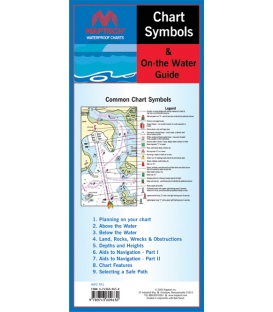
How to Use GPS with Charts (1st, 2003, Revised 2021)
Receivers provide your position...Nautical charts show you what's there ad what's in your way. Together they can make navigation easier and safer!!!
This training guide includes how to:
- Read Chart Symbols & Features
- Plot Your Position
- Create Your Own Waypoints
- Build Routes Around Obstacles
- Navigate with GPS and Charts
- Use a Computer to Ease the Task