Sign up for our Newsletter


More info
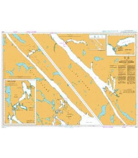
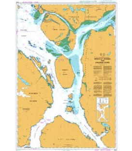
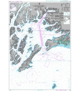
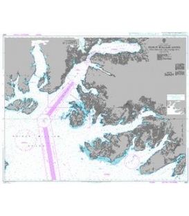
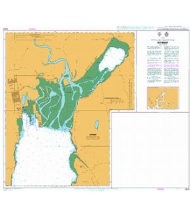
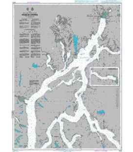
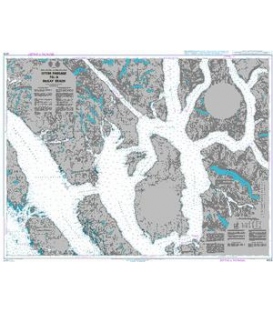
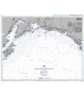
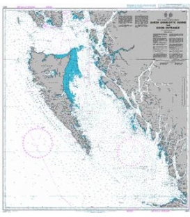
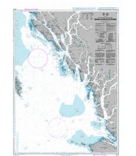
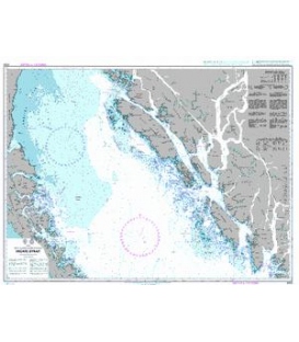
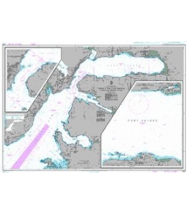
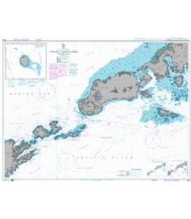
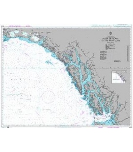
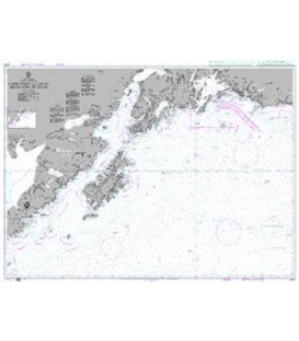
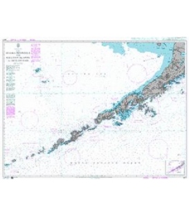
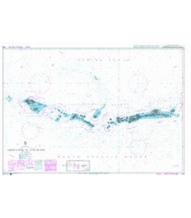
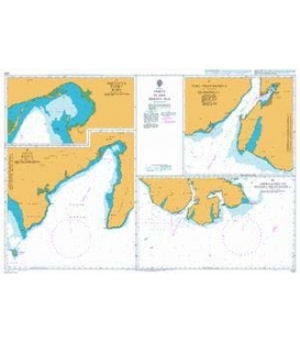
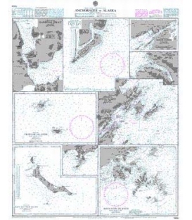
British Admiralty Nautical Chart 1454 Anchorages in Alaska
is corrected up to date. Admiralty standard nautical charts comply with Safety of Life at Sea (SOLAS) regulations and are ideal for professional, commercial and recreational use. Charts within the series consist of a range of scales, useful for passage planning, ocean crossings, coastal navigation and entering port. Mariners should always use the largest scale nautical chart appropriate to their needs. In particularly busy seaways such as the English Channel, Gulf of Suez and the Malacca and Singapore Straits, the standard nautical charts are supplemented by mariners routeing guides which provide advice on route planning in these complex areas.
Chart 1454
Main Chart Details
- Chart Title: Anchorages in Alaska
- Publication Date: 11/08/1890
- Latest Edition date: 21/04/1995
- Chart Size: 636 x 763 (mm)
Chart Panel Details
- Panel Name Shumagin Islands
- Natural Scale 503300
- North Limit 55 43'.00N
- East Limit 158 57'.00W
- South Limit 54 32'.50N
- West Limit 161 14'.60W
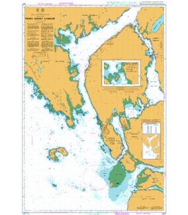
- Panel Name Approaches to Kodiak Harbor
- Area Name Kodiak Island
- Natural Scale 79660
- North Limit 57 51'.50N
- East Limit 152 08'.10W
- South Limit 57 40'.60N
- West Limit 152 32'.60W
- Panel Name Approaches to Lazy Bay
- Area Name Kodiak Island
- Natural Scale 45000
- North Limit 56 54'.47N
- East Limit 154 09'.36W
- South Limit 56 47'.87N
- West Limit 154 20'.18W
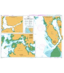
- Panel Name Saint Matthew Island
- Area Name Bering Sea
- Natural Scale 300000
- North Limit 60 48'.00N
- East Limit 171 43'.60W
- South Limit 60 06'.00N
- West Limit 173 26'.00W
- Panel Name Pribilof Islands
- Area Name Bering Sea
- Natural Scale 657000
- North Limit 57 26'.30N
- East Limit 167 59'.00W
- South Limit 56 19'.50N
- West Limit 171 23'.00W
- Panel Name Isanotski Strait
- Area Name Alaska Peninsula
- Natural Scale 100000
- North Limit 54 59'.00N
- East Limit 163 09'.55W
- South Limit 54 43'.85N
- West Limit 163 27'.60W
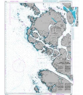
- Panel Name Kodiak Harbor
- Area Name Kodiak Island
- Natural Scale 15000
- North Limit 57 47'.65N
- East Limit 152 22'.95W
- South Limit 57 46'.70N
- West Limit 152 25'.62W
- Panel Name Port Graham
- Area Name Cook Inlet
- Natural Scale 79580
- North Limit 59 24'.00N
- East Limit 151 44'.80W
- South Limit 59 18'.57N
- West Limit 152 00'.25W
- Panel Name English Bay
- Area Name Saint Paul Island
- Natural Scale 74100
- North Limit 57 09'.85N
- East Limit 170 11'.30W
- South Limit 57 05'.23N
- West Limit 170 21'.20W