Sign up for our Newsletter


More info
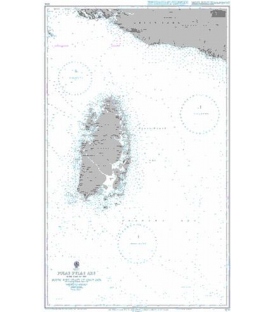
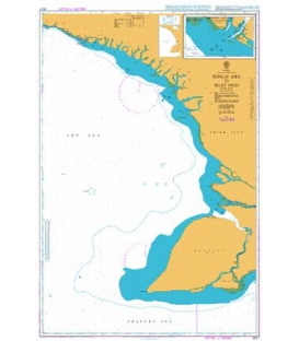
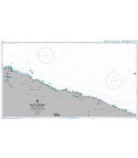
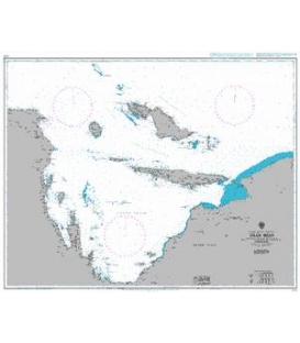
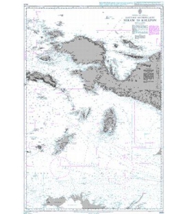
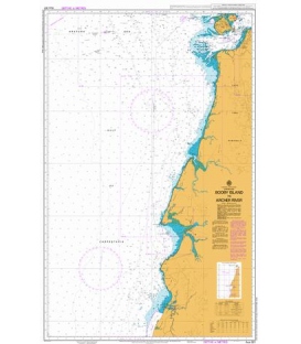
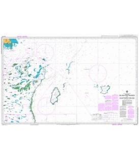
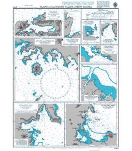
British Admiralty Nautical Chart 2467 Plans on the North Coast of New Guinea
is corrected up to date. Admiralty standard nautical charts comply with Safety of Life at Sea (SOLAS) regulations and are ideal for professional, commercial and recreational use. Charts within the series consist of a range of scales, useful for passage planning, ocean crossings, coastal navigation and entering port. Mariners should always use the largest scale nautical chart appropriate to their needs. In particularly busy seaways such as the English Channel, Gulf of Suez and the Malacca and Singapore Straits, the standard nautical charts are supplemented by mariners routeing guides which provide advice on route planning in these complex areas.
Chart 2467
Main Chart Details
- Chart Title: Plans on the North Coast of New Guinea
- Publication Date: 23/09/1955
- Latest Edition date: 25/09/1964
- Chart Size: 467 x 620 (mm)
Chart Panel Details
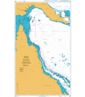
- Panel Name Ansoes and Approaches
- Area Name Japen - South Coast
- Natural Scale 75000
- North Limit 1 42'.37S
- East Limit 135 56'.14E
- South Limit 1 53'.97S
- West Limit 135 44'.50E
- Panel Name Seroei Baai
- Area Name Japen - South Coast
- Natural Scale 50000
- North Limit 1 52'.84S
- East Limit 136 15'.64E
- South Limit 1 55'.65S
- West Limit 136 13'.71E
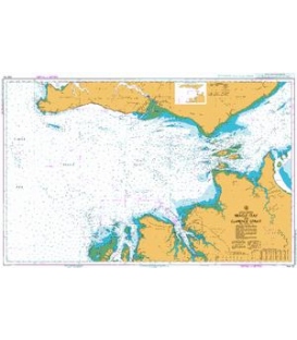
- Panel Name Teluk Jayapura and Teluk Imbi (Hollandia Baai)
- Natural Scale 25000
- North Limit 2 30'.91S
- East Limit 140 45'.17E
- South Limit 2 33'.50S
- West Limit 140 42'.18E
- Panel Name Humboldt Baai
- Natural Scale 75000
- North Limit 2 30'.50S
- East Limit 140 49'.00E
- South Limit 2 38'.10S
- West Limit 140 39'.71E
- Panel Name Entrance to Mamberamo Rivier
- Natural Scale 100000
- North Limit 1 24'.00S
- East Limit 138 01'.00E
- South Limit 1 33'.00S
- West Limit 137 52'.35E
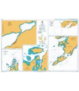
- Panel Name Rede Korido
- Area Name Soepiori - South Coast
- Natural Scale 50000
- North Limit 0 49'.00S
- East Limit 135 36'.43E
- South Limit 0 51'.00S
- West Limit 135 32'.00E
- Panel Name Fofak Baai
- Area Name Waigeo - North Coast
- Natural Scale 50000
- North Limit 0 00'.56S
- East Limit 130 47'.60E
- South Limit 0 03'.75S
- West Limit 130 41'.80E
- Panel Name Wari and Korim Baaien
- Area Name Biak - North East Coast
- Natural Scale 50000
- North Limit 0 50'.50S
- East Limit 136 04'.00E
- South Limit 0 54'.61S
- West Limit 136 02'.00E
- Panel Name Rede Windessi
- Natural Scale 37500
- North Limit 2 23'.84S
- East Limit 134 14'.00E
- South Limit 2 25'.94S
- West Limit 134 12'.53E