Sign up for our Newsletter
")
")
More info
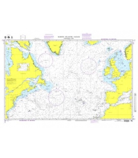
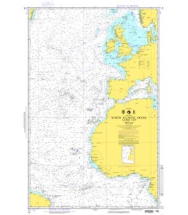
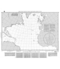
NGA Chart 14 North Atlantic Ocean (Eastern Part)
Scale: 10000000
Size: 36.0" x 44.0"
Edition: 4 Edition
Date: 1996-09-07
NTM Notice: 199648
NTM: http://www.nga.mil/maritime
NTM = NGA Notice to Mariners
NGA publishes a suite of paper nautical charts that typically junction with NOAA's suite of nautical charts. In general, NOAA is responsible for publishing charts of the coastal U.S., while NGA publishes open ocean charts. NGA also publishes charts of some Pacific Islands as well as charts that may cover foreign waters. Please noted: Latest edition but NOT corrected up to date. NO RETURN or EXCHANGE Policy on the Print-on-Demand nautical charts.