No products
Prices are tax included
Check out
Sign up for our Newsletter
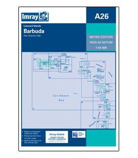
Display all pictures
Tweet Share Google+ Pinterest
Reference: II-A026
Condition: New product
Leeward Islands Plan: Gravenor Bay.
More details
$33.29
- +
Add to cart
The minimum purchase order quantity for the product is 1
Shipping Rates
Imray Chart A26: BarbudaScale: 1:45,000 WGS 84Type:ISBN: 9780852889886Edition: 2006Last Printed: November 2006Publisher: Imray
Be the first to write your review !
Imray Chart A3: Anguilla to...
Imray Chart A4: Guadeloupe to St...
Imray Chart A24: Anguilla, St...
Imray Chart A25: St Eustatius,...
Imray Chart A27: Antigua (2022)
Imray Chart A28: Guadeloupe
Imray Chart A29: Dominica
Imray Chart A30: Martinique
Imray Chart A271: North Coast of...
Imray Chart A281: Les Saintes...
Imray Chart A301: Pointe du...
Imray Chart B: Martinique to...
Imray Chart A2: Puerto Rico to...
St. Kitts & Nevis Courtesy Flag
British Admiralty Nautical Chart...
Imray Chart E2 Islas Canarias
Imray Chart A26: Barbuda
Crossing the Thames Estuary, 3rd...
Nights Of Ice
Handbook for Inspection of Ships and...
Maryland Nautical uses cookies to enhance your e-commerce experience. To view more information about our cookie use, click here to view our Privacy Policy.