Sign up for our Newsletter


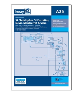
Imray Chart A25: St Eustatius, Nevis, St Christopher, Montserrat & Saba


Online Chart Viewer
Various scales
Includes insets:
Saba (1:30 000)
Monserrat (1:100 000)
Plans included:
Fort Baai (Saba)
Basseterre Bay (St Kitts)
The Narrows
Charlestown (Nevis)
Oranjebaai (St Eustatius)
More info
Imray Chart A25: St Eustatius, Nevis, St Christopher, Montserrat & Saba, 2012 Edition
Scale: Various Scales
ISBN: 9781846234569
Edition: 2012
Last Printed: February 2012
Publisher: Imray
2012 EDITION - Fully updated throughout. Shows the Christophe Harbour Marina currently under construction on St Christopher; revised depths in Fort Baai (Saba); and better positional detail around Charlestown.