Sign up for our Newsletter


More info
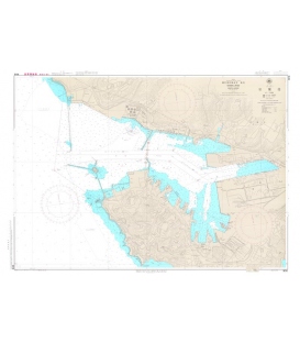
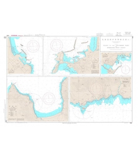
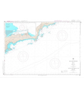
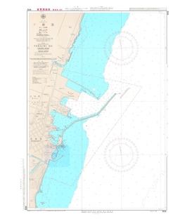
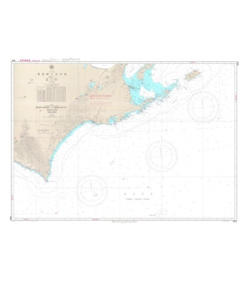
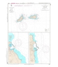
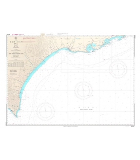
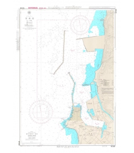
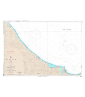
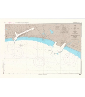
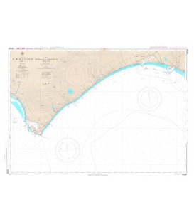
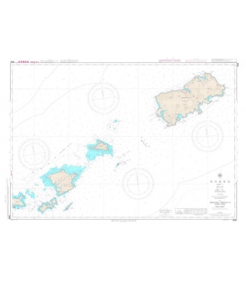
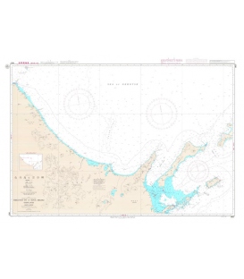
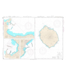
Japan Hydrographic Association (JHA) Nautical Chart W40A Plans on the Northern Part of Hokkaido-West Coast
Japanese official paper charts published by the Japan Coast Guard (JCG). All W charts are written in bilingual, Japanese and English. The color of land is printed in grey.
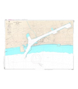
Haboro Ko (Scale : 1:7500)
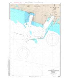
Teshio Ko (Scale : 1:7500)
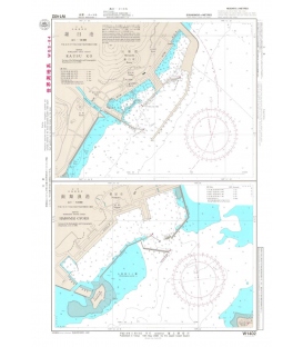
Mashike Ko (Scale : 1:8000)
Scale: 1/7,500 1/8,000
Geodetic Datum: The World Geodetic System 84(WGS-84)
Language: Japanese/English
Published Date (Y/M): 2013-04
Media/Size: chart/765mmx542mm
Issuer/Publisher: JHA/Japan Coast Guard


![W17 Uchiura Wan [Funka Wan]](https://mdnautical.com/22255-home_default/w17-uchiura-wan-funka-wan.jpg)