Sign up for our Newsletter
")
")


More info
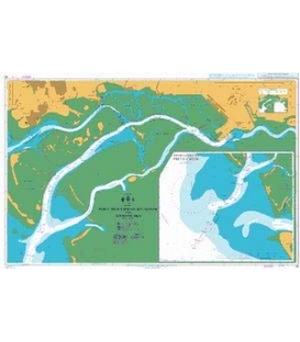
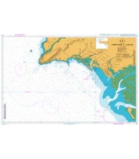
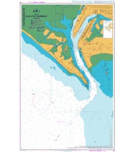
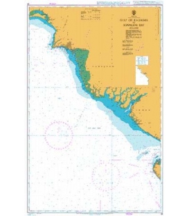
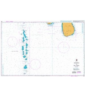
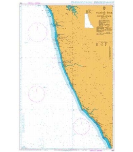
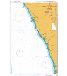
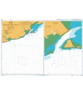
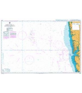
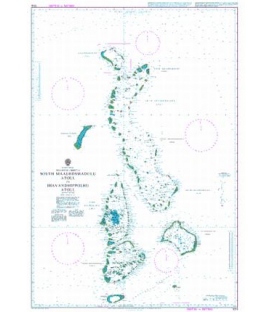
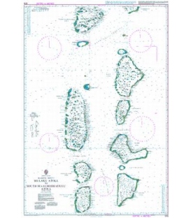
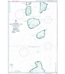
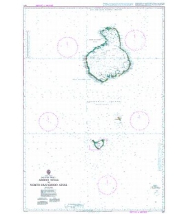
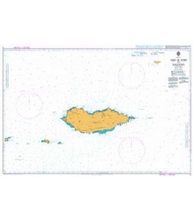
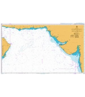
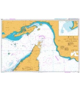
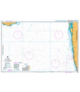
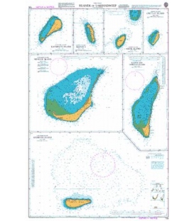
British Admiralty Nautical Chart 705 Islands in Lakshadweep (Laccadive Islands)
is corrected up to date. Admiralty standard nautical charts comply with Safety of Life at Sea (SOLAS) regulations and are ideal for professional, commercial and recreational use. Charts within the series consist of a range of scales, useful for passage planning, ocean crossings, coastal navigation and entering port. Mariners should always use the largest scale nautical chart appropriate to their needs. In particularly busy seaways such as the English Channel, Gulf of Suez and the Malacca and Singapore Straits, the standard nautical charts are supplemented by mariners routeing guides which provide advice on route planning in these complex areas.
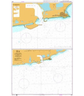
Chart 705
Main Chart Details
- Chart Title: Islands in Lakshadweep (Laccadive Islands)
- Publication Date: 20/05/1977
- Latest Edition date: 21/05/2020
- Chart Size: 630 x 955 (mm)
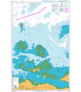
Chart Panel Details
- Panel Name Amini Island
- Area Name Amindivi Islands
- Natural Scale 50000
- North Limit 11 11'.38N
- East Limit 72 46'.17E
- South Limit 11 06'.00N
- West Limit 72 41'.50E
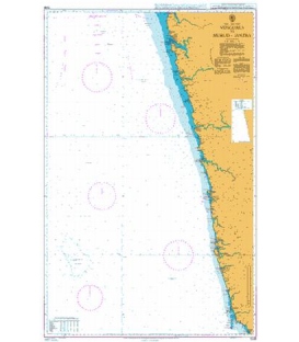
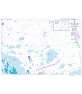
- Panel Name Kiltan Island
- Area Name Amindivi Islands
- Natural Scale 40000
- North Limit 11 31'.30N
- East Limit 73 01'.52E
- South Limit 11 27'.00N
- West Limit 72 58'.70E
- Panel Name Chetlat Island
- Area Name Amindivi Islands
- Natural Scale 40000
- North Limit 11 44'.31N
- East Limit 72 43'.88E
- South Limit 11 40'.00N
- West Limit 72 41'.57E
- Panel Name Kavaratti Island
- Area Name Cannanore Islands
- Natural Scale 40000
- North Limit 10 35'.55N
- East Limit 72 40'.13E
- South Limit 10 31'.25N
- West Limit 72 35'.90E
- Panel Name Kalpeni and Cheriyam Islands
- Area Name Cannanore Islands
- Natural Scale 40000
- North Limit 10 11'.49N
- East Limit 73 40'.70E
- South Limit 10 02'.00N
- West Limit 73 36'.39E
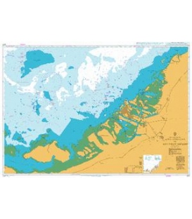
- Panel Name Androth Island
- Area Name Cannanore Islands
- Natural Scale 40000
- North Limit 10 55'.58N
- East Limit 73 49'.83E
- South Limit 10 47'.30N
- West Limit 73 36'.00E
- Panel Name Minicoy Island
- Area Name Cannanore Islands
- Natural Scale 30000
- North Limit 8 20'.73N
- East Limit 73 06'.28E
- South Limit 8 15'.00N
- West Limit 72 59'.40E