Sign up for our Newsletter


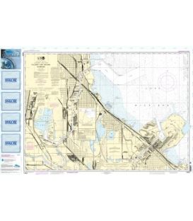
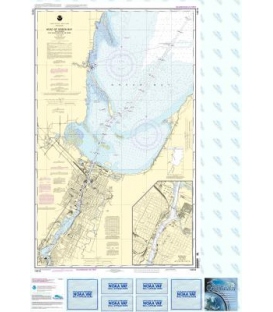
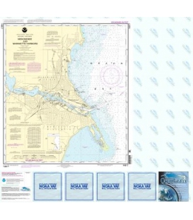
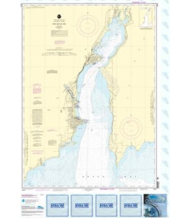
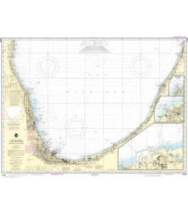
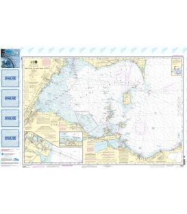
NOAA Chart 14846 (Small-Craft Chart Book) W. End of Lake Erie from Perrysburg, OH, on the Maumee R. to Huron R., MI, and Bar Pt.
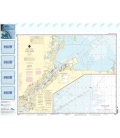
Edition 16
Edition Date: 2018-11-01
Size: 36.0" x 19.0"
Online Chart Viewer
More info
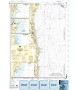
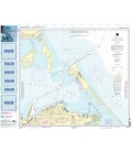
NOAA Chart 14846 (Small-Craft Chart Book) - W. End of Lake Erie from Perrysburg, OH, on the Maumee R. to Huron R., Mi, and Bar Pt.
Not yet available on the Print-on-Demand charts format.
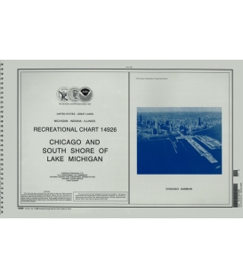
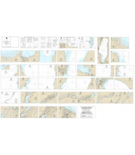
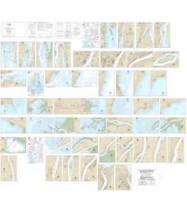
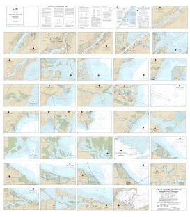
Specially designed for easy reference and plotting in limited spaces, these charts are arranged in a spiral-bound booklet.