

Sign up for our Newsletter
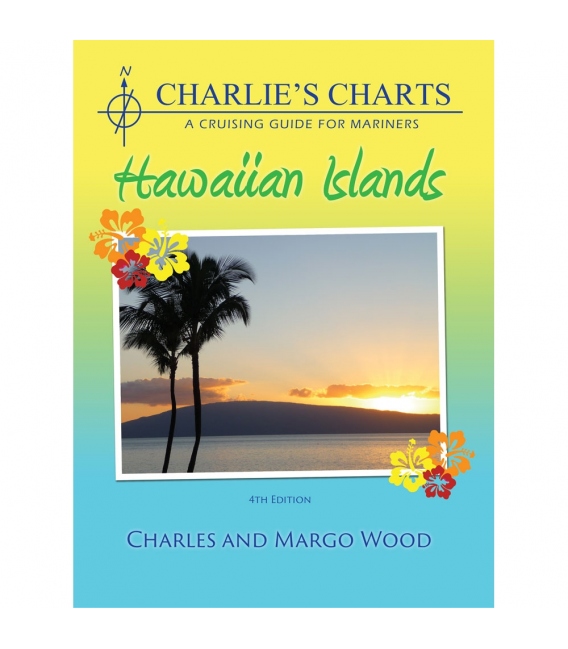
CHARLIE'S CHARTS of the Hawaiian Islands, 4th Edition 2009
This guide has a detailed sketch of all anchorages and marina facilities in the Hawaiian Islands. The introduction discusses significant topics such as weather, navigation, provisioning, entry procedures, pets, radio communication and diving. The Appendices include a chart list, weather forecasts a list of Wx and Fax frequencies and a beautifully illustrated marine animal identification guide of turtles, whales and sharks found in coastal waters.
CHARTS & SAILING DIRECTIONS produced by the US Defense Mapping Agency (DMA) are now identified as NIMA (National Imagery and Mapping Agency) publications and should be ordered using the same numbers but with the NIMA prefix.
Charlies Charts are probably the most used guides to Mexico, Costa Rica, Hawaii and Polynesia. No cruiser worth his salt would depart for a cruise in those areas without them."

