

Sign up for our Newsletter
Top sellers
-
4153 Emergency telephone symbol
$6.40Size 150 X 150mm Material Photoluminescent Self-adhesive vinyl
-
6057 Maritime Progress Fire main with valves
$6.40150 x 150mm; Photoluminescent, self-adhesive vinyl
-
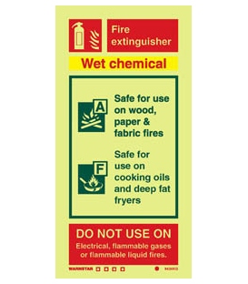
6434 Wet chemical fire extinguisher (including class pictos)
$6.71Size 200 X 100mm Material Photoluminescent Self-adhesive vinyl
-
8684 Crew only + symbol
$8.78Size 150 X 300mm Material Photoluminescent Self-adhesive vinylSelf-adhesive white vinyl
-
CFR Title 29 Part 1910 (1910.1000 to End of Part 1910) Labor Revised as of July 1, 2020
$29.63ISBN: 978-1-68388-035-6 (9781683880356)
-
-
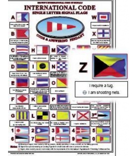
Brown's International Code of Signals Card (Large)
$11.70ISBN:978-0-85174-102-4 (9780851741024)Published date:Reprinted 2009
-
The U.S. Virgin Islands: A Photographic Portrait
*** No longer distributed by Cruising Guide Publications (19 Dec 2023)
-
-
Modern Marine Engineer's Manual, Vol. 1, 3rd Edition (1999) (4th Printing, 2013)
$79.99ISBN: 978-0-87033-496-2
-
-
-
IMO IA680E Anti-Fouling Convention, 2005 Edition
ISBN: 9789280122916 *** 4 Oct 2022, available in e-Book (digital) format only (IMEB-680)
-
NOAA Chart 11425 Intracoastal Waterway Charlotte Harbor to Tampa Bay
$23.95*** Note: This is a NOS Small-Craft chart as a single flat sheet. It is NOT folded. Scale: 40,000 Paper Size: 42.0" x 63.0"Actual Chart Size: 58.7" x 40.1" Edition #: 42Edition Date: 2021-09-23 Online Chart Viewer The chart you are viewing is NOT updated weekly and does NOT include all of the latest Notice to Mariners corrections.
-
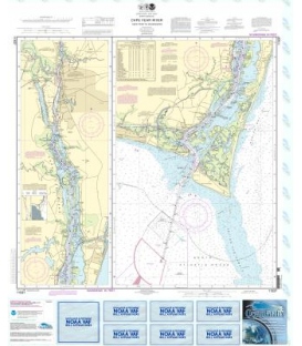
NOAA Chart 11537 Cape Fear River Cape Fear to Wilmington
$23.95Scale: 1:40000Size: 36.0" x 43.0"Edition #: 39Edition Date: 2013-04-01NTM Notice/Date: 1513 2013-04-13NTM: http://www.nga.mil/maritimeLNM Notice/Date: 1513 2013-04-09LNM: http://ocsdata.ncd.noaa.gov/nm On-Line Chart Viewer

