Sign up for our Newsletter
")
")


More info
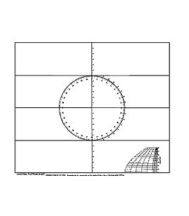
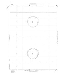
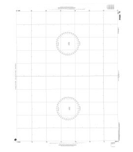
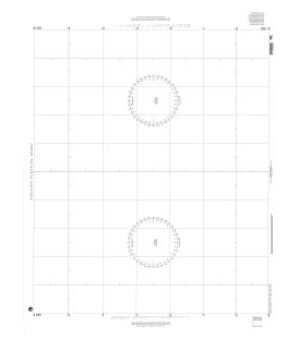
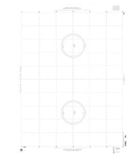
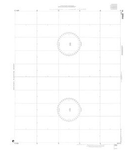
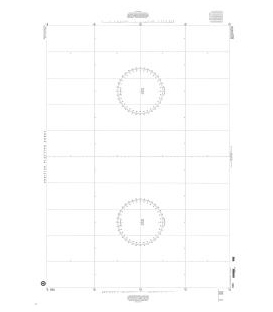
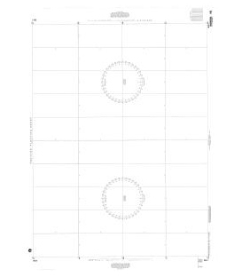
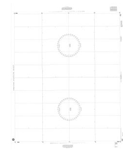
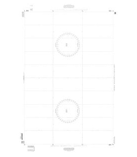
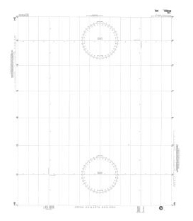
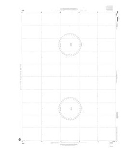
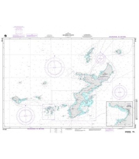
NGA Plotting Chart 928 (45º to 50º)
Scale: Size: 36.0" x 48.0"
Edition: 1
Edition Date: 1979-07-28
Mid latitude: 47º30'
Scale: 1:741,597
NTM: http://www.nga.mil/maritime
Charts 920 to 936 (overall size, 36 inches by 48 inches). Scale 1" longitude equals 4 inches
| Stock Number | (Limits of Latitude) | Mid Latitude) | Scale = 1: |
| 920 | (4ºS to 4ºN) | 0º | 1,095,679 |
| 921 | (3º to 11º) | 7º | 1,087,566 |
| 922 | (10º to 18º) | 14º | 1,063,344 |
| 923 | (17º to 24º) | 20º30' | 1,026,715 |
| 924 | (23º to 30º) | 26º30' | 981,220 |
| 925 | (29º to 36º) | 32º30' | 924,1984 |
| 926 | (35º to 41º) | 38º | 864,517 |
| 927 | (40º to 46º) | 43º | 802,596 |
| 928 | (45º to 50º) | 47º30' | 741,597 |
| 929 | (49º to 54º) | 51º30' | 683,493 |
| 930 | (53º to 57º) | 55º | 629,889 |
| 931 | (56º to 60º) | 58º | 582,040 |
| 932 | (59º to 63º) | 61º | 532,576 |
| 933 | (62º to 65º) | 63º30' | 490,222 |
| 934 | (64º to 71º) | 67º30' | 841,029 |
| 935 | (70º to 75º) | 72º30 | 660,992 |
| 936 | (74º to 78º) | 76º | 531,840 |