

Sign up for our Newsletter
NV-Charts
-
Region 11.1/12.1 Box, Caribbean 1 (includes 11.1 & 12.1)
*** 20 Feb 2016: Discontinued, they are now only sold individually as below
-
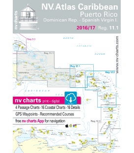
Region 11.1: Puerto Rico, Dominican Republic to Spanish Virgin Islands 2022/23
$97.95Format: Kombipack Papier / Digital download and App 3 Passage Charts 13 Coastal Charts & 16 Details Charts Paper and digital Digital Details & Photos of Harbors and Anchorages ISBN 978-3-932414-10-7
-
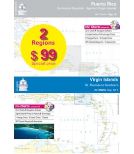
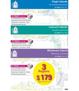
Region 12 Box, Caribbean (includes 12.1, 12.2 & 12.3)
*** 18 Oct 2016: No longer sold as a bundle; they are only available individually (as below):
-
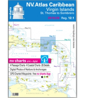
Region 12.1: Virgin Islands, St. Thomas to Sombrero 2023
$97.95includes Chart CD, Software, and Harbour & Anchorage Pilot Book23.5" x 16.5"
-
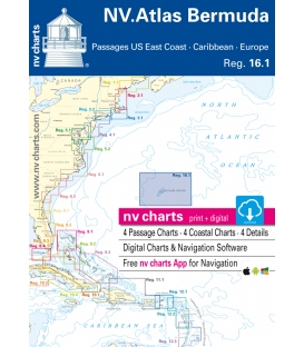
Region 16.1, Bermuda Islands, Passages US East Coast, Caribbean & Europe 2016/17
$62.82ISBN: 9783932414756 • Passage Charts • Coastal Charts • Details • GPS Charted Waypoints & Approaches • This Chart Region is based on BA data with a new layout, clear cartography and international chart standards • Standardized chart scales - passage charts 1:340,000 - 1:7,500,000 coastal charts 1:90,000 and detail charts 1:20,000 or less
- 1
- 2

