

Sign up for our Newsletter
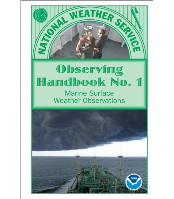
National Weather Service Observing Handbook No. 1 Marine Surface Weather Observations, May 2010
In writing this new edition of NWS Observing Handbook No. 1 it has been our intent to include as much useful information as possible in the available space. The compact size and design, and “field guide” format, should allow for easy handling and quick reference. We hope this simplifies your work as weather observers, and makes it easier to locate the information you need.
Weather has an almost magical hold on the mariner. Every change in the weather at sea is noted with a sense of trepidation. Reporting weather not only contributes to your safety, but adds to your basic knowledge of seamanship. It is part of keeping a good lookout.
For every 100 observations on land, there is only about 1 observation at sea. Without your participation in the Voluntary Observing Ship (VOS) program, there would be vast marine areas without data, making weather forecasting nearly impossible for these areas. The importance of ship reports cannot be overstated. We thank ships officers for their fine work, dedication, and commitment.
Please follow the weather reporting schedule for ships as best you can (0000, 0600, 1200, 1800 UTC from all areas; every 3-hours from the Great Lakes, from within 200 miles of the United States and Canadian coastlines, and from within 300 miles of named tropical storms or hurricanes). For assistance, contact a Port Meteorological Officer (PMO), who will come aboard your vessel and provide all the information you need to observe, code, and transmit weather (see page 1-2 through 1-5).
Table of Contents
iii Preface
vii Introduction
1-1 Chapter 1: Program Description
2-1 Chapter 2: Ship’s Synoptic Code and Observing Methods
3-1 Chapter 3: Transmitting the Observation
4-1 Chapter 4: The Weatherwise Mariner
5-1 Glossary
A-1 Appendix A: Observing Forms and Supplies
B-1 Appendix B: Conversion Factors and Equivalents
C-1 Appendix C: Interpretation of Weather Map Symbols

