Sign up for our Newsletter


More info
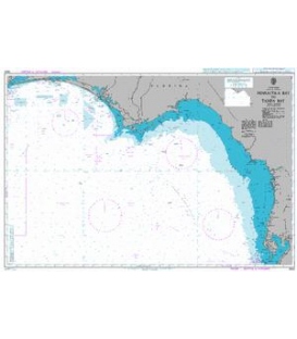
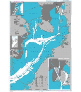
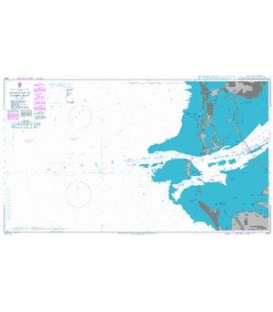
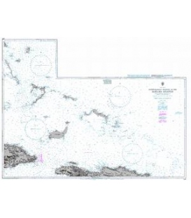
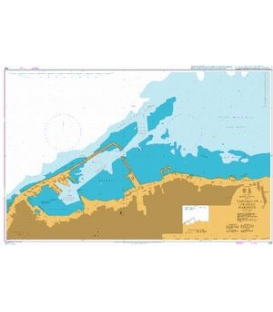
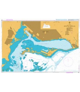
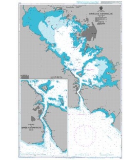
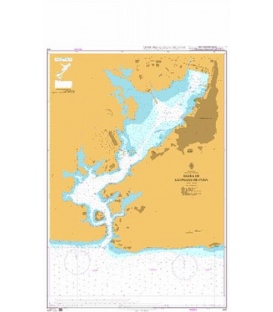
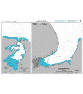
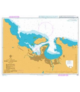
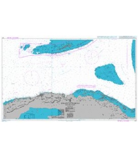
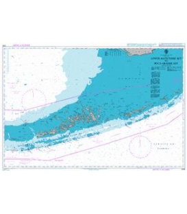
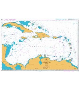
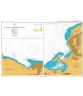
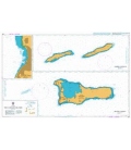
British Admiralty Nautical Chart 463 Plans on the North Coast of the Dominican Republic
is corrected up to date. Admiralty standard nautical charts comply with Safety of Life at Sea (SOLAS) regulations and are ideal for professional, commercial and recreational use. Charts within the series consist of a range of scales, useful for passage planning, ocean crossings, coastal navigation and entering port. Mariners should always use the largest scale nautical chart appropriate to their needs. In particularly busy seaways such as the English Channel, Gulf of Suez and the Malacca and Singapore Straits, the standard nautical charts are supplemented by mariners routeing guides which provide advice on route planning in these complex areas.
Chart 463
Main Chart Details
- Chart Title: Plans on the North Coast of the Dominican Republic
- Publication Date: 10/12/1954
- Latest Edition date: 23/08/1985
- Chart Size: 975 x 645 (mm)
Chart Panel Details
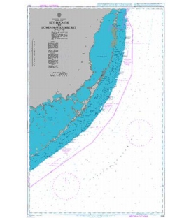
- Panel Name Punta Cabarete to Punta Brimball
- Natural Scale 200000
- North Limit 20 13'.20N
- East Limit 70 21'.25W
- South Limit 19 40'.00N
- West Limit 71 02'.50W
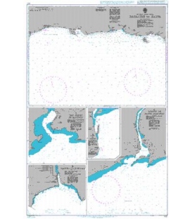
- Panel Name Punta Mangle to Pointe Yaquezi
- Natural Scale 200000
- North Limit 20 11'.59N
- East Limit 71 18'.80W
- South Limit 19 37'.00N
- West Limit 72 00'.00W
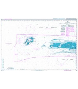
- Panel Name Bahia de Samana and Approaches
- Natural Scale 200000
- North Limit 19 29'.37N
- East Limit 68 56'.37W
- South Limit 18 53'.00N
- West Limit 69 40'.00W
- Panel Name Bahia de Monte Cristi
- Natural Scale 25000
- North Limit 19 54'.49N
- East Limit 71 38'.90W
- South Limit 19 51'.45N
- West Limit 71 41'.80W
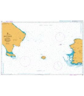
- Panel Name Puerto Santa Barbara and Approaches
- Natural Scale 25000
- North Limit 19 13'.00N
- East Limit 69 14'.65W
- South Limit 19 09'.00N
- West Limit 69 20'.17W
- Panel Name Puerto Plata
- Natural Scale 12000
- North Limit 19 49'.97N
- East Limit 70 41'.05W
- South Limit 19 48'.45N
- West Limit 70 42'.44W