Sign up for our Newsletter


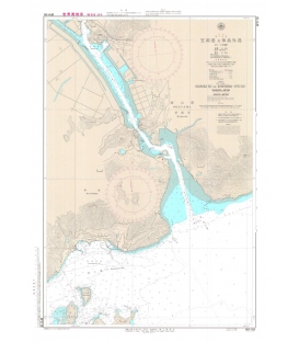
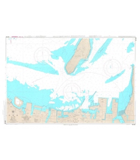
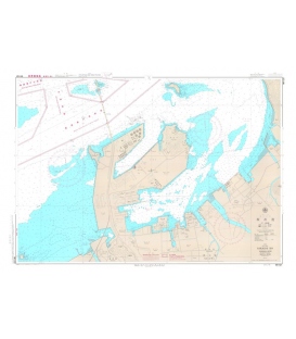
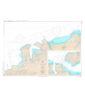
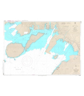
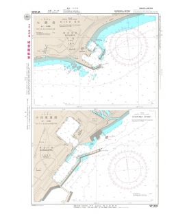
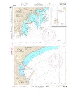
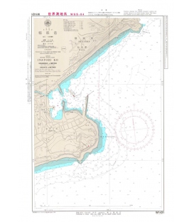
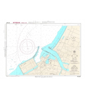
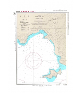
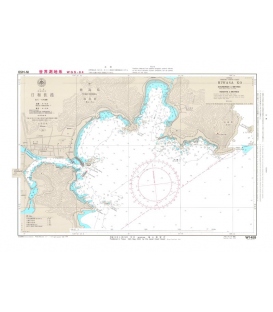
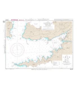
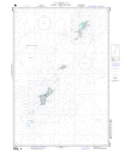
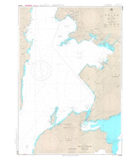
W1109 Kure Ko and Approaches
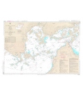
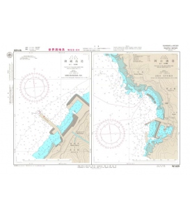
***We do not stock this chart as there is a UKHO reproduction of it (BAJ1109)
More info
Nautical Charts are published to cover the Japanese coasts, Pacific and Indian Oceans and their adjacent seas. They are mainly constructed on Mercator's projection, and most of those charts covering the waters around Japan at a scale smaller than 1:100,000 are compiled at the scale based on the length of the longitude at Lat. 35 degrees
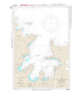
Japanese official paper charts published by the Japan Coast Guard (JCG). All W charts are written in bilingual, Japanese and English. The color of land is printed in grey.
Scale 1:10,000
Published Date (Y/M): 2017-06
Geodetic Datum: The World Geodetic System 84(WGS-84)
Chart Dimensions: chart/1,085mmx765mm
Language: Japanese/English
Issuer/Publisher: JHA/Japan Coast Guard