Sign up for our Newsletter


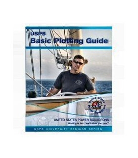
Weems & Plath 557 USPS Basic Plotting Guide Booklet
Plotting on a chart is a fundamental skill necessary to planning and navigating on the water. Today, a growing majority of boaters use GPS for positional information, but connection with a printed chart is an essential ingredient in assuring that you will safely navigate to your destination. The Basic Plotting Guide will provide the link between the two methods by explaining the basics of how to use your GPS and plot on paper charts. What you will learn in this guide: •Basic concepts in coastal and inland navigation •How to measure latitude and longitude of a point on your chart for entry into your GPS. •How to plot a position using latitude and longitude given by the GPS. •How to plot, measure and label course lines on a chart. A basic comprehensible overview of plotting to get you started navigating your boat, this guide is designed by the United States Power Squadron, an organization dedicated to making boating safer and more enjoyable by teaching classes in seamanship, navigation and related subjects