Sign up for our Newsletter


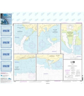
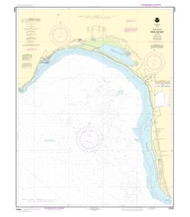
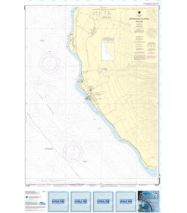
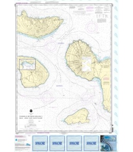
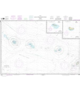
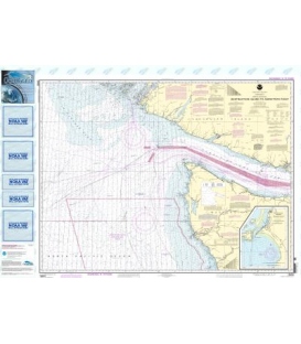
NOAA Chart 18480 Approaches to Strait of Juan de Fuca Destruction lsland to Amphitrite Point
Scale: 1:176253
Paper Size: 36.0" x 46.0"
Actual Chart Size: 42.8" x 34.0"
Edition #: 33
Edition Date: 2021-11-04
NTM: http://www.nga.mil/maritime
LNM: http://ocsdata.ncd.noaa.gov/nm
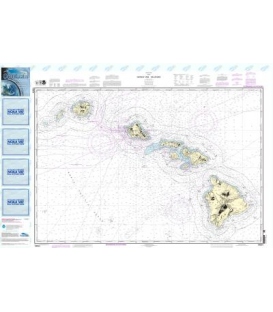
OceanGrafix NOAA Chart 18480 Approaches to Strait of Juan de Fuca Destruction lsland to Amphitrite Point
OceanGrafix, an experienced producer of digital print materials, has partnered with the National Oceanic and Atmospheric Administration (NOAA) to provide commercial and recreational mariners with the most up-to-date nautical charts ever offered! Orders placed with Maryland Nautical for these charts can now be printed at our location, at just one minute printing time per chart. This process will ensure your receive the most up-date information available!
Please noted: due to dated material NO RETURN or EXCHANGE Policy on the Print-on-Demand nautical charts.