Sign up for our Newsletter


More info
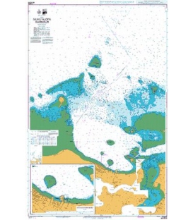
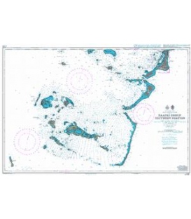
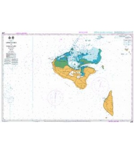
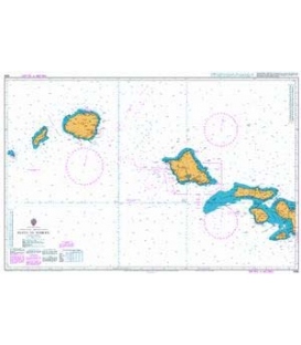
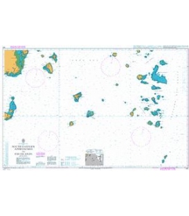
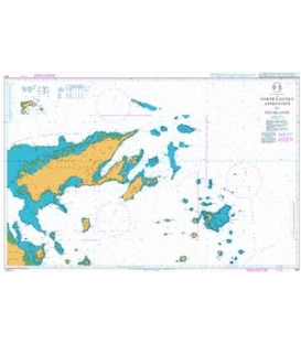
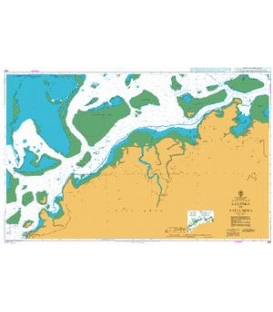
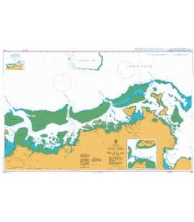
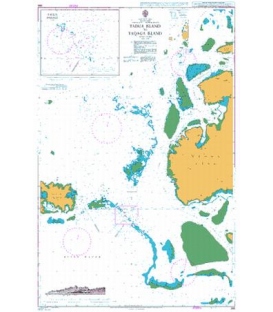
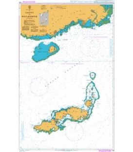
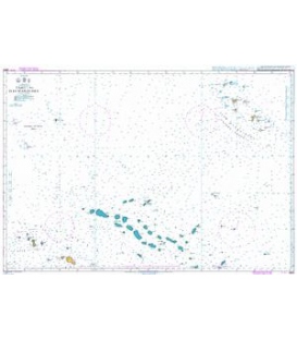
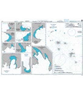
British Admiralty Nautical Chart 1640 Plans in the Iles Marquises
is corrected up to date. Admiralty standard nautical charts comply with Safety of Life at Sea (SOLAS) regulations and are ideal for professional, commercial and recreational use. Charts within the series consist of a range of scales, useful for passage planning, ocean crossings, coastal navigation and entering port. Mariners should always use the largest scale nautical chart appropriate to their needs. In particularly busy seaways such as the English Channel, Gulf of Suez and the Malacca and Singapore Straits, the standard nautical charts are supplemented by mariners routeing guides which provide advice on route planning in these complex areas.
Chart 1640
Main Chart Details
- Chart Title: Plans in the Iles Marquises
- Publication Date: 29/03/1963
- Latest Edition date: 12/02/1988
- Chart Size: 973 x 620 (mm)
Chart Panel Details
- Panel Name Iles Marquises
- Natural Scale 750000
- North Limit 7 13'.80S
- East Limit 138 08'.30W
- South Limit 11 24'.20S
- West Limit 141 07'.10W
- Panel Name Baie Hanavave
- Area Name Fatu-Iva
- Natural Scale 20000
- North Limit 10 27'.20S
- East Limit 138 39'.33W
- South Limit 10 28'.35S
- West Limit 138 41'.02W
- Panel Name Baie Puamau
- Area Name Hiva-Oa
- Natural Scale 20000
- North Limit 9 45'.02S
- East Limit 138 51'.73W
- South Limit 9 46'.16S
- West Limit 138 53'.76W
- Panel Name Baie Taaoa
- Area Name Hiva-Oa
- Natural Scale 30000
- North Limit 9 47'.60S
- East Limit 139 01'.23W
- South Limit 9 52'.07S
- West Limit 139 03'.86W
- Panel Name Baie de Vaitahu
- Area Name Tahuata
- Natural Scale 10000
- North Limit 9 55'.89S
- East Limit 139 06'.37W
- South Limit 9 56'.52S
- West Limit 139 07'.22W
- Panel Name Baie de Hakahetau
- Area Name Ua-Pou
- Natural Scale 10000
- North Limit 9 21'.03S
- East Limit 140 05'.99W
- South Limit 9 21'.67S
- West Limit 140 07'.01W
- Panel Name Baie de Hane
- Area Name Ua-Huka
- Natural Scale 20000
- North Limit 8 55'.44S
- East Limit 139 31'.67W
- South Limit 8 56'.72S
- West Limit 139 33'.36W
- Panel Name Baie de Vaipaee
- Area Name Ua-Huka
- Natural Scale 10000
- North Limit 8 56'.26S
- East Limit 139 33'.60W
- South Limit 8 56'.90S
- West Limit 139 34'.61W
- Panel Name Baie de Taiohae
- Area Name Nuku-Hiva
- Natural Scale 20000
- North Limit 8 54'.33S
- East Limit 140 05'.00W
- South Limit 8 57'.02S
- West Limit 140 07'.47W
- Panel Name Baie Anaho
- Area Name Nuku-Hiva
- Natural Scale 20000
- North Limit 8 47'.22S
- East Limit 140 02'.96W
- South Limit 8 49'.93S
- West Limit 140 04'.22W
- Panel Name Baie du Controleur
- Area Name Nuku-Hiva
- Natural Scale 20000
- North Limit 8 52'.45S
- East Limit 140 00'.66W
- South Limit 8 56'.08S
- West Limit 140 03'.35W