Sign up for our Newsletter


More info
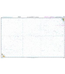
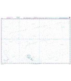
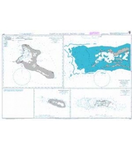
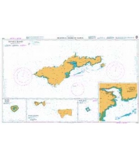
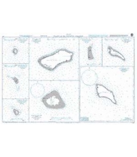
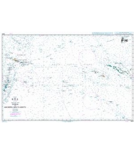
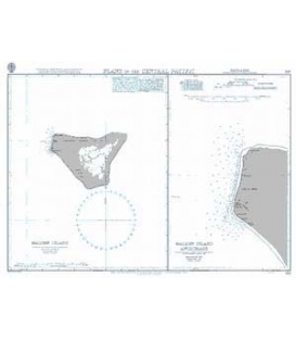
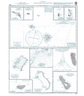
British Admiralty Nautical Chart 766 Ellice Islands
is corrected up to date. Admiralty standard nautical charts comply with Safety of Life at Sea (SOLAS) regulations and are ideal for professional, commercial and recreational use. Charts within the series consist of a range of scales, useful for passage planning, ocean crossings, coastal navigation and entering port. Mariners should always use the largest scale nautical chart appropriate to their needs. In particularly busy seaways such as the English Channel, Gulf of Suez and the Malacca and Singapore Straits, the standard nautical charts are supplemented by mariners routeing guides which provide advice on route planning in these complex areas.
Chart 766
Main Chart Details
- Chart Title: Ellice Islands
- Publication Date: 21/03/1872
- Latest Edition date: 05/09/1952
- Chart Size: 475 x 611 (mm)
Chart Panel Details
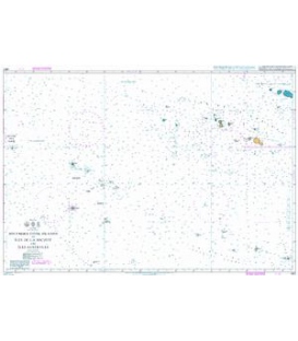
- Panel Name Funafuti to Vaitupu
- Natural Scale 750000
- North Limit 7 03'.50S
- East Limit 179 30'.00W
- South Limit 8 58'.00S
- West Limit 177 22'.10E
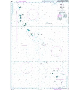
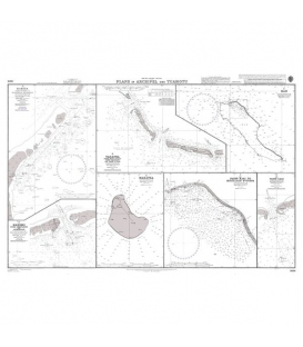
- Panel Name Nanumea
- Natural Scale 150000
- North Limit 5 36'.00S
- East Limit 176 11'.30E
- South Limit 5 43'.20S
- West Limit 176 04'.00E
- Panel Name Niutao
- Natural Scale 150000
- North Limit 6 03'.00S
- East Limit 177 20'.72E
- South Limit 6 10'.20S
- West Limit 177 15'.60E
- Panel Name Nanumanga
- Natural Scale 147000
- North Limit 6 13'.00S
- East Limit 176 22'.00E
- South Limit 6 20'.00S
- West Limit 176 16'.25E
- Panel Name Nui
- Natural Scale 147000
- North Limit 7 09'.72S
- East Limit 177 12'.30E
- South Limit 7 16'.75S
- West Limit 177 06'.00E
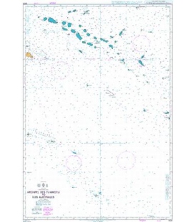
- Panel Name Nukufetau
- Natural Scale 150000
- North Limit 7 51'.50S
- East Limit 178 27'.08E
- South Limit 8 09'.35S
- West Limit 178 15'.50E
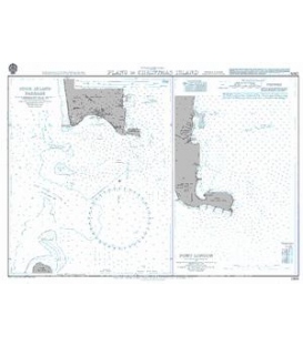
- Panel Name Teafua Pass
- Area Name Nukufetau Atoll
- Natural Scale 25000
- North Limit 7 59'.35S
- East Limit 178 21'.10E
- South Limit 8 01'.13S
- West Limit 178 18'.93E
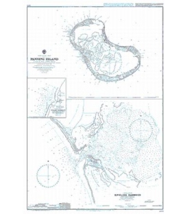
- Panel Name Niulakita
- Natural Scale 24000
- North Limit 10 47'.14S
- East Limit 179 29'.72E
- South Limit 10 48'.32S
- West Limit 179 27'.60E
- Panel Name Nukulaelae
- Natural Scale 80000
- North Limit 9 19'.21S
- East Limit 179 54'.46E
- South Limit 9 26'.87S
- West Limit 179 47'.50E
- Panel Name Nukulaelae Anchorage
- Natural Scale 12000
- North Limit 9 21'.69S
- East Limit 179 49'.85E
- South Limit 9 22'.75S
- West Limit 179 48'.74E
- Panel Name Vaitupu
- Natural Scale 50000
- North Limit 7 26'.10S
- East Limit 178 43'.60E
- South Limit 7 30'.10S
- West Limit 178 39'.06E