Sign up for our Newsletter


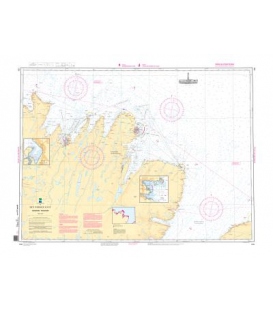
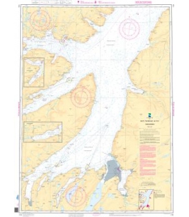
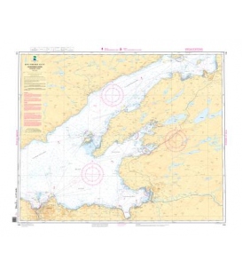
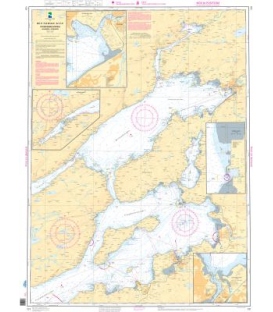
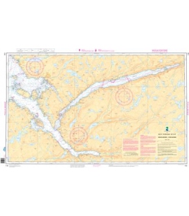
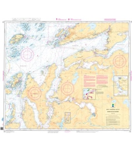
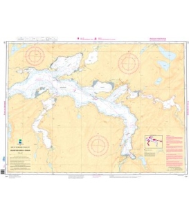
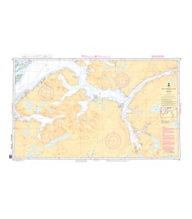
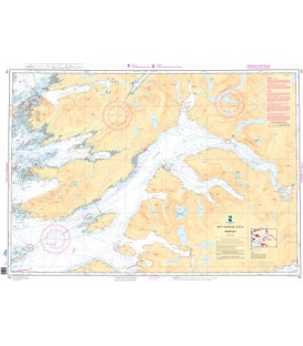
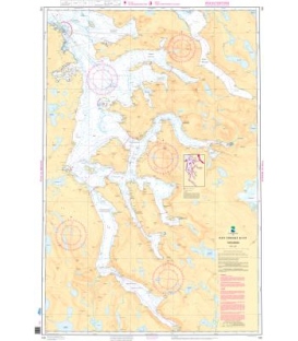
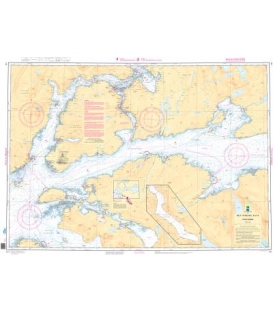
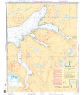
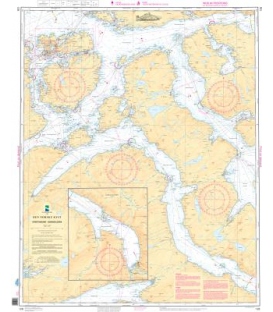
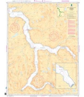
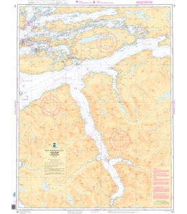
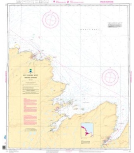
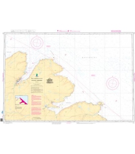
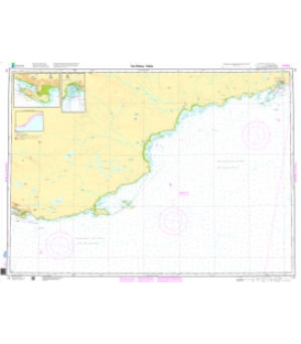
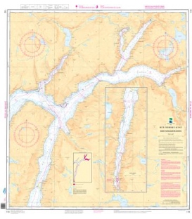
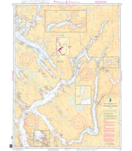
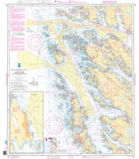
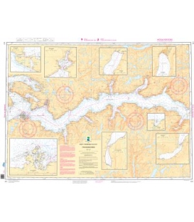
Norwegian Nautical Chart 121 Ytre Sognefjorden
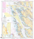
Ytre Sognefjorden (75,000)
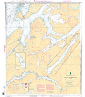
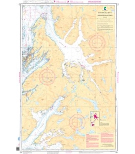
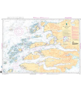
A. Listraumen (20,000)
B. Bofjorden (20,000)
C. Vadheim (20,000)
D. Hoyanger (20,000)
E. Rutletangen (20,000)
F. Fuglsetfjorden (20,000)
G. Ortnevik (20,000)
H. Finnabotn (20,000)
Paper Size: 36.0" x 41.0"
Actual Chart Size: 40.8" x 30.5"
Edition #: 6
Edition Date: 2021-09-15
More info
Norwegian Nautical Charts No. 121 Ytre Sognefjorden
The hardcopy of standard Norwegian navigational/nautical charts for the coast of Norway, the coast of Svalbard, maritime zones and harbours. Paper Type: Water Resistant.
Please noted: Due to dated material, NO RETURN or EXCHANGE Policy on the Print-on-Demand nautical charts.