Sign up for our Newsletter


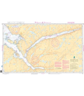
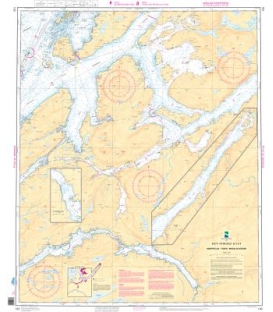
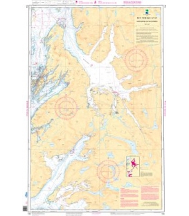
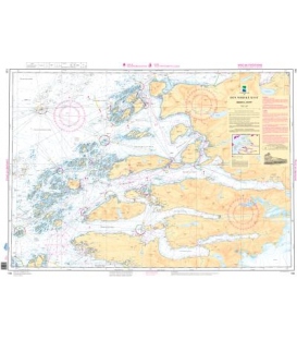
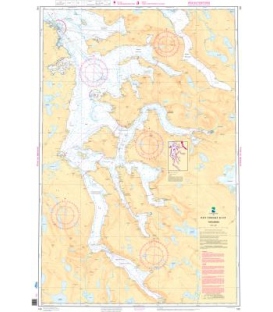
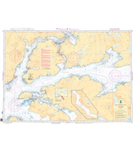
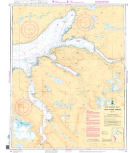
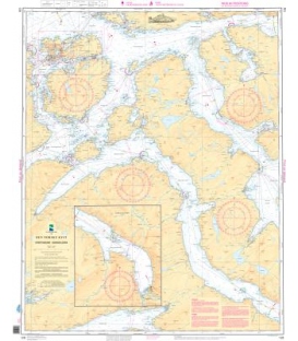
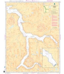
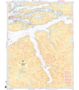
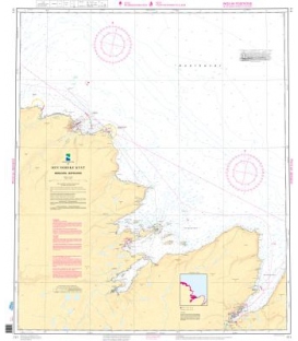
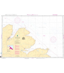
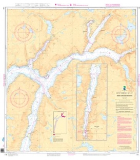
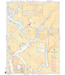
Norwegian Nautical Chart 513 Svalbard havner: Sveagruva, Forlandsrevet, Adventfjorden, Ny Ålesund
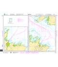
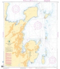
Svalbard havner:
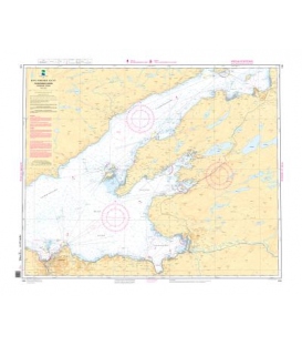
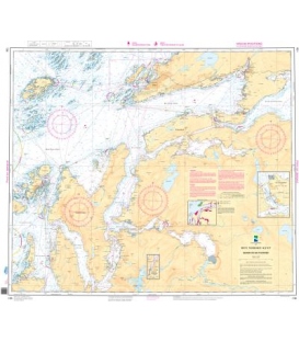
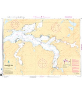
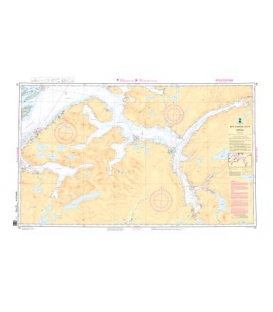
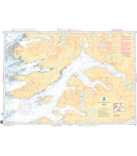
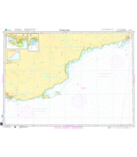
Plan: Forlandsrevet (50,000)
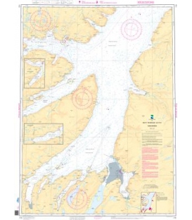
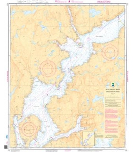
Plan: Sveagruva (25,000)
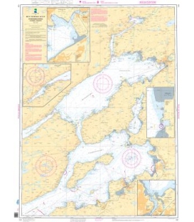
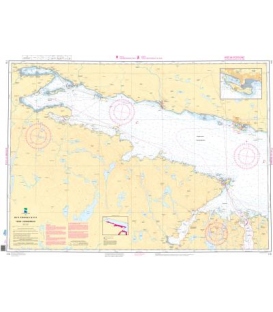
Plan: Adventfjorden (25,000)
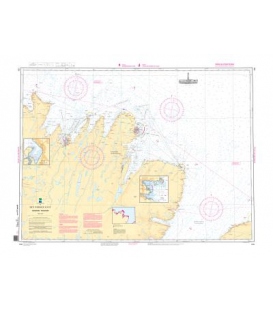
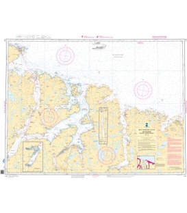
Plan: NY-Alesund (25,000)
Inset A: Kolkaia (10,000)
Inset B. Longyearbyen Kaier (10,000)
Plan C. NY-Alesund Kaier (5,000)
Paper Size: 36.0" x 39.0"
Actual Chart Size: 38.3" x 30.4"
Edition #: 3
Edition Date: 2021-10-01
More info
Norwegian Nautical Chart 513
Svalbard havner: Sveagruva, Forlandsrevet, Adventfjorden, Ny Ålesund
The hardcopy of standard Norwegian navigational/nautical charts for the coast of Norway, the coast of Svalbard, maritime zones and harbours.
Please noted: Due to dated material, NO RETURN or EXCHANGE Policy on the Print-on-Demand nautical charts