No products
Prices are tax included
Check out
Sign up for our Newsletter
Tweet Share Google+ Pinterest
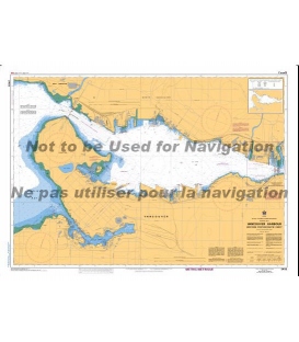
Reference: BA5332A
Condition: New product
$16.73
- +
Add to cart
The minimum purchase order quantity for the product is 1
Shipping Rates
Be the first to write your review !
British Admiralty Nautical Chart...
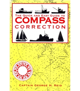
The Quick and Easy Guide to...
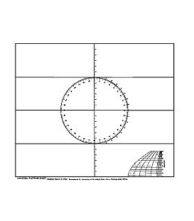
5910 Universal Plotting Sheets...
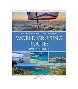
World Cruising Routes, 9th...
CN 3493 Vancouver Harbour Western...
Maryland Nautical uses cookies to enhance your e-commerce experience. To view more information about our cookie use, click here to view our Privacy Policy.