Sign up for our Newsletter
")
")

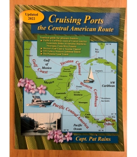
Cruising Ports The Central American Route (Jun 2023)
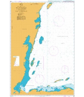
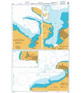
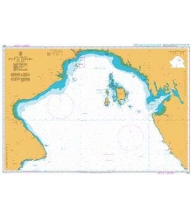
Nautical guide for pleasure boaters ... Pacific & Caribbean coasts of Central America: Guatemala, Belize, El Salvador, Honduras, Nicaragua, Costa Rica, Panama Mexico's Gulf Coast & Yucatan Channel NW Cuba & Western Caribbean Islands The Panama Canal Transit "Cruising Ports" gives boat owners a wealth of details and savvy guidance for safe adventure voyaging through the Central American cruising grounds, north to south, port by tropical port, culminating in Panama Canal transit. Approaches by sea, Anchorages, Dinghy Docks, Marinas & Yacht Clubs, Ports Clearance, Local Services, History & Culture, Side Trips GPS charts & color photos for anchoring in hundreds of remote coves, tropical islands & resort ports. Official Paperwork, Weather & Routing, Directory of marinas, fuel docks, boat yards, repairs, ship's agents, rescue services (email & website). Fishing, Diving & Eco-boating on your pleasure voyage south. Check-list for preparing your boat (sail & power) and crew for this route. This book and its text, chartlets, illustrations and photo are to be used for planning and reference purposes only. They are specifically not to be used for navigation. Some of this book's chartlets are taken from the latest DMA, NIMA, SM, NOAA and British Admiralty Charts, and some of the previously charted shorelines and soundings have been changed and or corrected to agree with high-resolution satellite imagery. For the sake of clarity, te publisher has deleted some ship-relevant soundings and added new shoreline data such as breakwaters, marinas, fuel docks, shoals and rocks. Other chartlets and text pages in this book were created from the author's and her husband's sketch charts, created from onsite GPS triangulations, depth soundings, topographic maps and aerial photos. The text has been carefully prepared, based on the author's and her husband's personal inspections, on official publications and other data deemed reliable, with the objective of making the recreational boater's voyage more enjoyable. Every reasonable effort has been made to achieve up-to-date accuracy, but the infinite complexities of personal observation and a constantly changing world render total accuracy impossible. Thus all sailing, navigation, anchoring and docking information in this book must be checked against the shipper's own eyes, ears, navigation equipment and latest government-issued charts and publications. Every skipper alone is responsible for the safety of his or her crew and vessel and he or she must plot the safe course.