No products
Prices are tax included
Check out
Sign up for our Newsletter
Tweet Share Google+ Pinterest
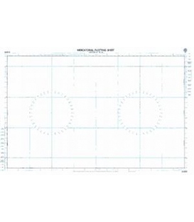
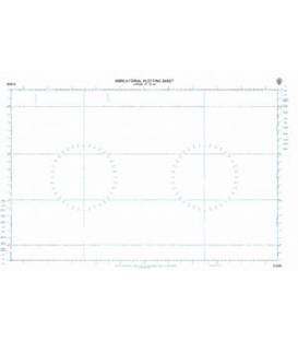
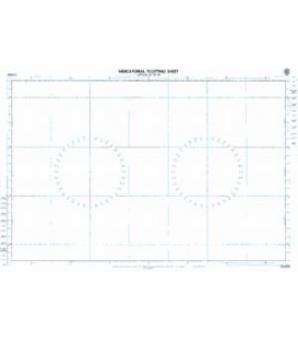
Reference: BA6341D
Condition: New product
More details
$16.73
- +
Add to cart
The minimum purchase order quantity for the product is 1
Shipping Rates
Be the first to write your review !
British Admiralty Nautical Chart...
BA 6342D Admiralty Mercator...
British Admiralty Routeing Chart...
NP283(1) Admiralty List of Radio...
Maryland Nautical uses cookies to enhance your e-commerce experience. To view more information about our cookie use, click here to view our Privacy Policy.