No products
Prices are tax included
Check out
Sign up for our Newsletter
Tweet Share Google+ Pinterest
Reference: BA6334D
Condition: New product
$16.73
- +
Add to cart
The minimum purchase order quantity for the product is 1
Shipping Rates
Be the first to write your review !
British Admiralty Nautical Chart...
BA 6342D Admiralty Mercator...
NP283(1) Admiralty List of Radio...
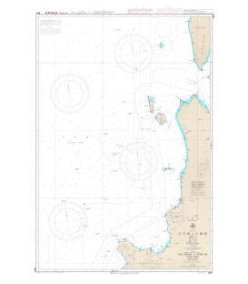
W41 Soya Misaki to Otaru Ko
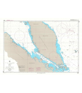
W620 Malacca Strait
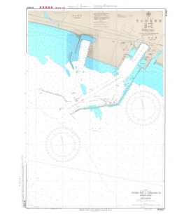
W1033B Eastern Part of Tomakomai Ko
Maryland Nautical uses cookies to enhance your e-commerce experience. To view more information about our cookie use, click here to view our Privacy Policy.