Sign up for our Newsletter
")
")

More info
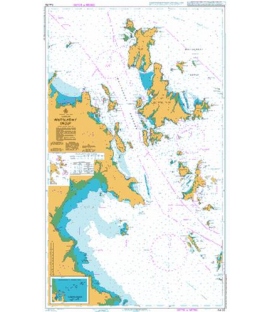
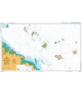
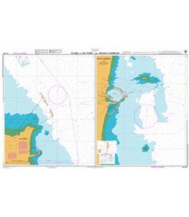
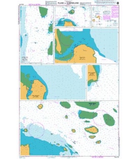
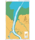
British Admiralty Australian Nautical Chart AUS270 Plans in Queensland (sheet 2)
is corrected up to date. Admiralty standard nautical charts comply with Safety of Life at Sea (SOLAS) regulations and are ideal for professional, commercial and recreational use. Charts within the series consist of a range of scales, useful for passage planning, ocean crossings, coastal navigation and entering port. Mariners should always use the largest scale nautical chart appropriate to their needs. In particularly busy seaways such as the English Channel, Gulf of Suez and the Malacca and Singapore Straits, the standard nautical charts are supplemented by mariners routeing guides which provide advice on route planning in these complex areas.
Chart AUS270
Main Chart Details
- Chart Title: Plans in Queensland (sheet 2)
- Publication Date: 08/03/2002
- Latest Edition date: 21/03/2019
- Chart Size: 653 x 1000 (mm)
Chart Panel Details
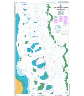
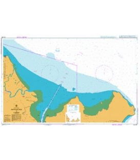
- Panel Name Approaches to Heath Reef
- Natural Scale 50000
- North Limit 13 21'.90S
- East Limit 143 44'.08E
- South Limit 13 32'.20S
- West Limit 143 38'.10E
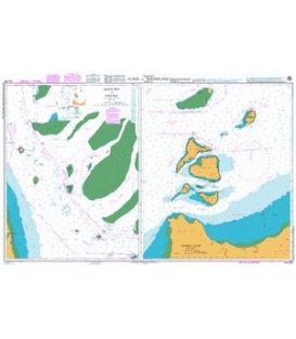
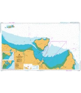
- Panel Name Cape Melville and Pipon Islets
- Natural Scale 75000
- North Limit 14 05'.85S
- East Limit 144 36'.45E
- South Limit 14 11'.20S
- West Limit 144 26'.68E
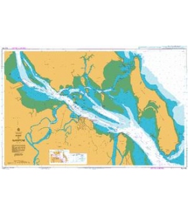
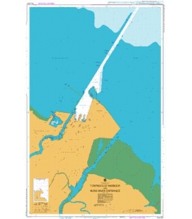
- Panel Name Cooktown
- Natural Scale 10000
- North Limit 15 26'.85S
- East Limit 145 16'.63E
- South Limit 15 28'.10S
- West Limit 145 14'.27E
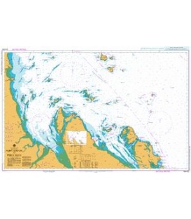
- Panel Name Port Douglas
- Natural Scale 10000
- North Limit 16 28'.15S
- East Limit 145 29'.65E
- South Limit 16 29'.40S
- West Limit 145 27'.20E
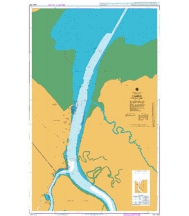
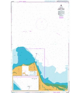
- Panel Name Cape Flattery Wharf
- Natural Scale 10000
- North Limit 14 58'.45S
- East Limit 145 22'.03E
- South Limit 14 59'.70S
- West Limit 145 20'.90E
- Panel Name Howick Group
- Natural Scale 50000
- North Limit 14 25'.05S
- East Limit 145 03'.17E
- South Limit 14 34'.80S
- West Limit 144 45'.00E