Sign up for our Newsletter


More info
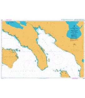
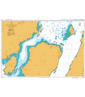
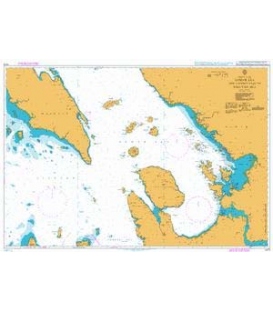
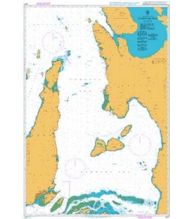
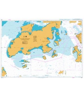
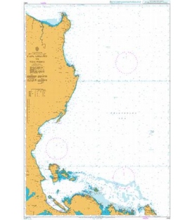
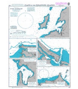
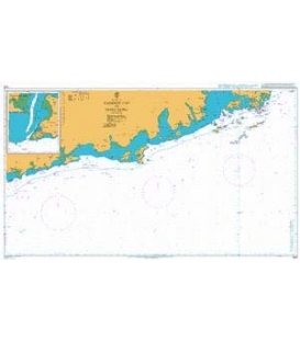
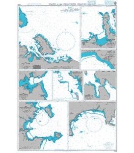
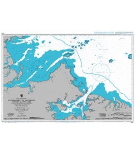
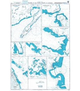
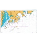
British Admiralty Nautical Chart 3475 Plans on the East Coast of Luzon
is corrected up to date. Admiralty standard nautical charts comply with Safety of Life at Sea (SOLAS) regulations and are ideal for professional, commercial and recreational use. Charts within the series consist of a range of scales, useful for passage planning, ocean crossings, coastal navigation and entering port. Mariners should always use the largest scale nautical chart appropriate to their needs. In particularly busy seaways such as the English Channel, Gulf of Suez and the Malacca and Singapore Straits, the standard nautical charts are supplemented by mariners routeing guides which provide advice on route planning in these complex areas.
Chart 3475
Main Chart Details
- Chart Title: Plans on the East Coast of Luzon
- Publication Date: 06/09/1940
- Latest Edition date: 28/04/1961
- Chart Size: 645 x 950 (mm)
Chart Panel Details
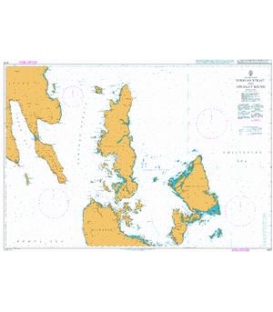
- Panel Name Casiguran Sound
- Natural Scale 75000
- North Limit 16 16'.96N
- East Limit 122 08'.90E
- South Limit 16 00'.05N
- West Limit 121 55'.10E
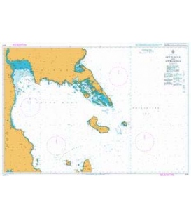
- Panel Name Polillo Harbour
- Area Name Polillo Island
- Natural Scale 50000
- North Limit 14 46'.00N
- East Limit 121 56'.70E
- South Limit 14 41'.90N
- West Limit 121 52'.60E
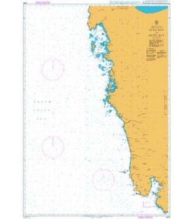
- Panel Name Lamit Bay
- Natural Scale 50000
- North Limit 14 00'.52N
- East Limit 123 34'.50E
- South Limit 13 54'.01N
- West Limit 123 28'.95E
- Panel Name Tabaco
- Natural Scale 40000
- North Limit 13 28'.53N
- East Limit 123 46'.16E
- South Limit 13 20'.70N
- West Limit 123 42'.17E
- Panel Name Silangan Pass
- Natural Scale 25000
- North Limit 14 01'.43N
- East Limit 122 12'.70E
- South Limit 13 58'.08N
- West Limit 122 08'.50E
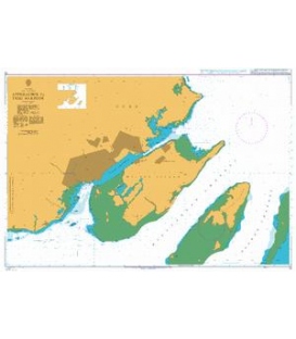
- Panel Name Hondagua Harbour
- Natural Scale 25000
- North Limit 13 58'.00N
- East Limit 122 14'.91E
- South Limit 13 53'.63N
- West Limit 122 10'.73E
- Panel Name Port Gubat
- Natural Scale 25000
- North Limit 12 56'.80N
- East Limit 124 10'.10E
- South Limit 12 51'.90N
- West Limit 124 06'.70E
- Panel Name Port Alabat
- Area Name Alabat Island
- Natural Scale 20000
- North Limit 14 06'.63N
- East Limit 122 01'.13E
- South Limit 14 05'.00N
- West Limit 121 59'.20E