Sign up for our Newsletter


More info
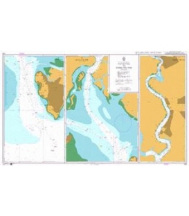
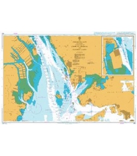
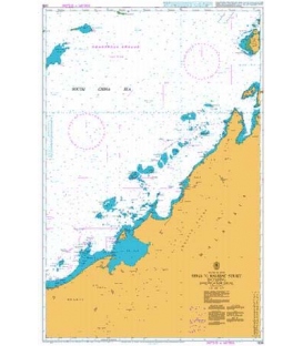
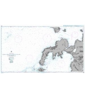
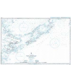
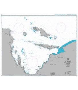
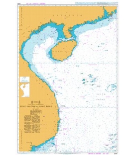
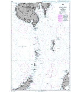
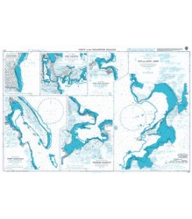
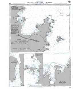
British Admiralty Nautical Chart 962 Ports in the Philippine Islands
is corrected up to date. Admiralty standard nautical charts comply with Safety of Life at Sea (SOLAS) regulations and are ideal for professional, commercial and recreational use. Charts within the series consist of a range of scales, useful for passage planning, ocean crossings, coastal navigation and entering port. Mariners should always use the largest scale nautical chart appropriate to their needs. In particularly busy seaways such as the English Channel, Gulf of Suez and the Malacca and Singapore Straits, the standard nautical charts are supplemented by mariners routeing guides which provide advice on route planning in these complex areas.
Chart 962
Main Chart Details
- Chart Title: Ports in the Philippine Islands
- Publication Date: 06/06/1923
- Latest Edition date: 06/10/1961
- Chart Size: 976 x 622 (mm)
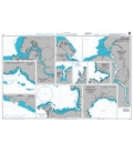
Chart Panel Details
- Panel Name Nin and Looc Bays
- Area Name Masbate - West Coast
- Natural Scale 30000
- North Limit 12 17'.34N
- East Limit 123 17'.94E
- South Limit 12 07'.26N
- West Limit 123 11'.47E
- Panel Name Port Cataingan
- Area Name Masbate - East Coast
- Natural Scale 30000
- North Limit 12 01'.33N
- East Limit 124 04'.64E
- South Limit 11 55'.00N
- West Limit 123 59'.28E
- Panel Name Masbate Harbour
- Area Name Masbate - North East Coast
- Natural Scale 20000
- North Limit 12 24'.30N
- East Limit 123 37'.54E
- South Limit 12 20'.07N
- West Limit 123 34'.52E
- Panel Name Dumaguete
- Area Name Negros - South East Coast
- Natural Scale 10000
- North Limit 9 19'.20N
- East Limit 123 19'.20E
- South Limit 9 18'.00N
- West Limit 123 18'.20E
- Panel Name Port San Jacinto
- Area Name Ticao - East Coast
- Natural Scale 20000
- North Limit 12 35'.17N
- East Limit 123 45'.00E
- South Limit 12 32'.78N
- West Limit 123 42'.74E
- Panel Name Port Sibonga
- Area Name Bucas Islands
- Natural Scale 35000
- North Limit 9 44'.10N
- East Limit 126 02'.00E
- South Limit 9 40'.00N
- West Limit 125 57'.42E