Sign up for our Newsletter


More info
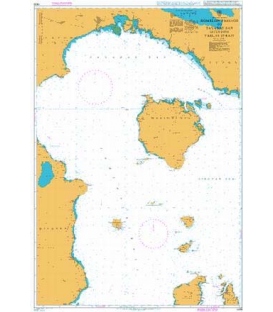
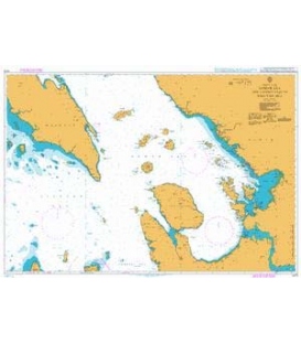
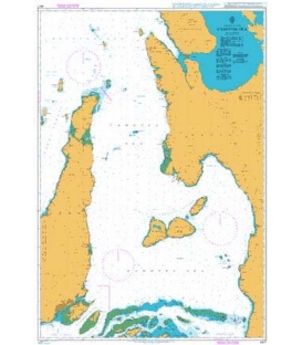
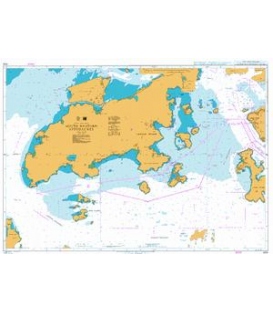
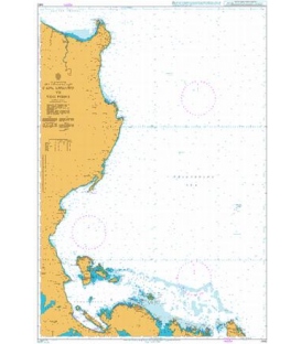
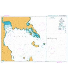
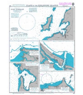
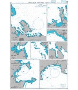
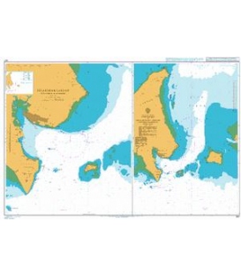
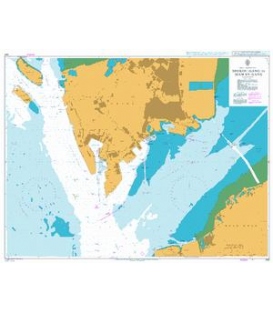
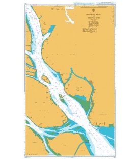
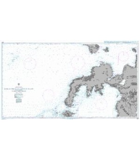
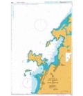
British Admiralty Nautical Chart 3559 Anchorages in Luzon- Mindoro and Marinduque
is corrected up to date. Admiralty standard nautical charts comply with Safety of Life at Sea (SOLAS) regulations and are ideal for professional, commercial and recreational use. Charts within the series consist of a range of scales, useful for passage planning, ocean crossings, coastal navigation and entering port. Mariners should always use the largest scale nautical chart appropriate to their needs. In particularly busy seaways such as the English Channel, Gulf of Suez and the Malacca and Singapore Straits, the standard nautical charts are supplemented by mariners routeing guides which provide advice on route planning in these complex areas.
Chart 3559
Main Chart Details
- Chart Title: Anchorages in Luzon, Mindoro and Marinduque
- Publication Date: 23/07/1943
- Latest Edition date: 08/05/1964
- Chart Size: 975 x 620 (mm)
Chart Panel Details
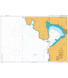
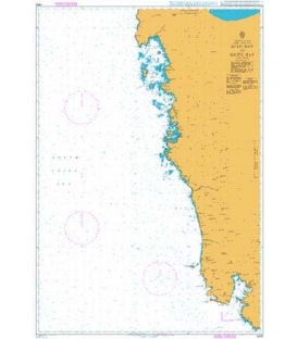
- Panel Name Bolinao Harbour
- Area Name Luzon - West Coast
- Natural Scale 25000
- North Limit 16 26'.96N
- East Limit 119 56'.38E
- South Limit 16 21'.81N
- West Limit 119 51'.92E
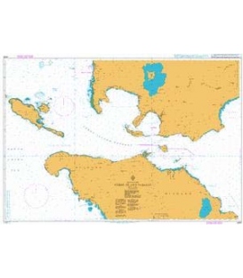
- Panel Name Port Masinloc and Port Matalvi
- Area Name Luzon - West Coast
- Natural Scale 25000
- North Limit 15 33'.54N
- East Limit 119 58'.54E
- South Limit 15 28'.37N
- West Limit 119 52'.50E
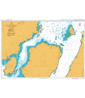
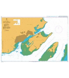
- Panel Name Mariveles Harbour
- Area Name Luzon - West Coast
- Natural Scale 30000
- North Limit 14 26'.47N
- East Limit 120 32'.00E
- South Limit 14 23'.87N
- West Limit 120 28'.61E
- Panel Name Santa Cruz Harbour
- Area Name Marinduque
- Natural Scale 50000
- North Limit 13 33'.20N
- East Limit 122 09'.85E
- South Limit 13 27'.00N
- West Limit 122 00'.30E
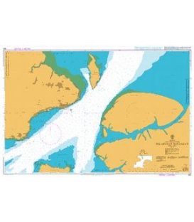
- Panel Name Port Balanacan
- Area Name Marinduque
- Natural Scale 12500
- North Limit 13 32'.74N
- East Limit 121 52'.40E
- South Limit 13 31'.19N
- West Limit 121 50'.83E
- Panel Name Port Galera and Varadero Bay
- Area Name Mindoro - North Coast
- Natural Scale 20000
- North Limit 13 32'.33N
- East Limit 120 58'.36E
- South Limit 13 29'.24N
- West Limit 120 56'.10E