- Home
- >
- Nautical Charts
- >
- British Admiralty (Print-on-Demand + hand corrected, up-to-date)
- >
- Instructional Charts
- >
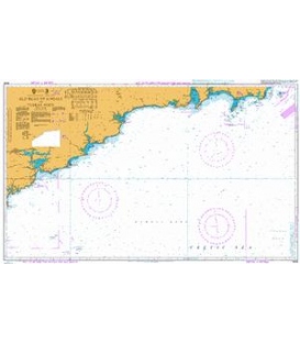
- British Admiralty Instructional Chart 5134 Instructional Kenmare River to Cork Harbour
Categories
- CLEARANCE
- New Editions
- Nautical Charts
- Nautical Books
- E-Readers & E-Books
- Occupational Safety & Health Administration (OSHA)
- Destinations
- Code of Federal Regulations (CFR)
- USCG Exam Study Materials
- International Maritime Org. (IMO)
- Sealite Aids to Marine Navigation
- Flags
- Digital Charts
- Nautical Software
- Marine Supplies
- Navigation Equipment
- Intracoastal Waterway
- Ocean Cruising
- Great Circle Route
- Gift Shop


Sign up for our Newsletter
BA5134
New product
*** Canceled, no replacement (NM 16/25)
More info
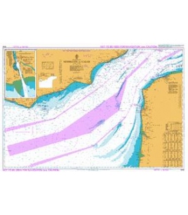
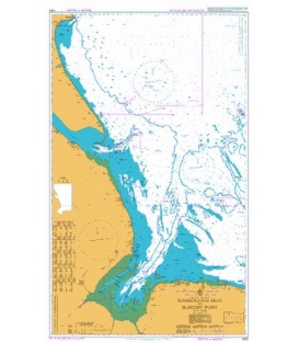
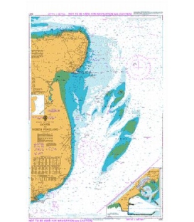
British Admiralty Instructional Chart 5134 Instructional Kenmare River to Cork Harbour
Instructional Charts are useful for training and examination purposes. They are not maintained for the latest information and should not be used for navigation.
Main Chart Details
- Chart Title: Instructional Kenmare River to Cork Harbour
- Publication Date: 04/08/2005
- Latest Edition date: 04/08/2005
- Chart Size: 1100 x 640 (mm)
Chart Panel Details
- Panel Name Instructional Kenmare River to Cork Harbour
- Natural Scale 150000
- North Limit 51 58'.52N
- East Limit 7 55'.00W
- South Limit 51 05'.00N
- West Limit 10 22'.47W
Reviews
29 other products in the same category:
- About Us
- Our Services
- Ordering & Shipping
- Resource Links
- Blog
- CLEARANCE
- New Editions
- Nautical Charts
- Nautical Books
- E-Readers & E-Books
- Occupational Safety & Health Administration (OSHA)
- Destinations
- Code of Federal Regulations (CFR)
- USCG Exam Study Materials
- International Maritime Org. (IMO)
- Sealite Aids to Marine Navigation
- Flags
- Digital Charts
- Nautical Software
- Marine Supplies
- Navigation Equipment
- Intracoastal Waterway
- Ocean Cruising
- Great Circle Route
- Gift Shop

