Sign up for our Newsletter


More info
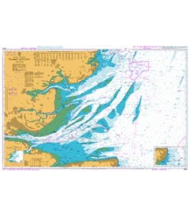
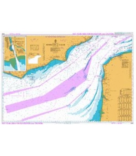
British Admiralty Instructional Chart 5046 English Channel - Newhaven to Calais
Instructional Charts are useful for training and examination purposes. They are not maintained for the latest information and should not be used for navigation.
Chart 5046
Main Chart Details
- Chart Title: English Channel - Newhaven to Calais
- Publication Date: 01/10/1998
- Latest Edition date: 01/10/1998
- Chart Size: 650 x 980 (mm)
Chart Panel Details
- Panel Name English Channel - Newhaven to Calais
- Natural Scale 150000
- North Limit 51 10'.04N
- East Limit 2 03'.00E
- South Limit 50 17'.10N
- West Limit 1 02'.40W
- Panel Name Newhaven Harbour
- Natural Scale 7250
- North Limit 50 47'.05N
- East Limit 0 04'.00E
- South Limit 50 46'.50N
- West Limit 0 03'.00E