Sign up for our Newsletter


More info
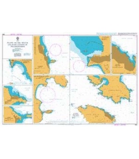
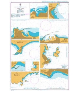
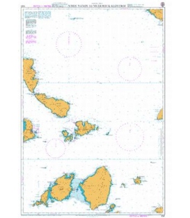
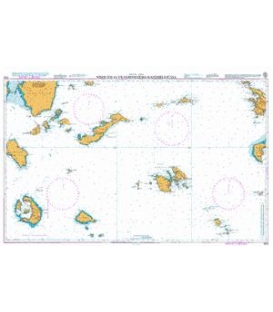
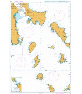
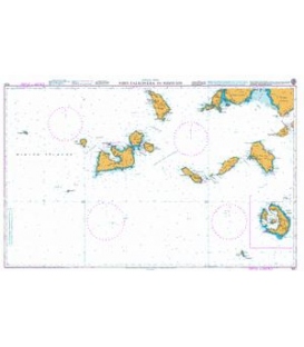
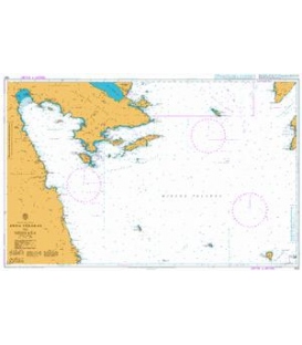
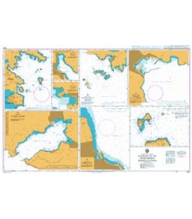
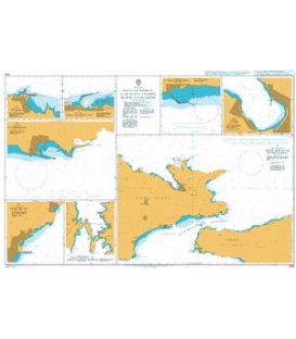
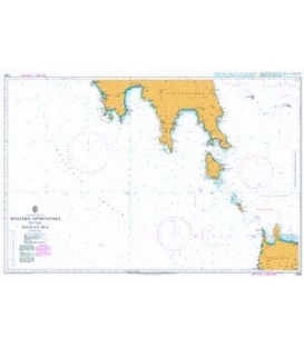
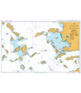
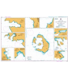
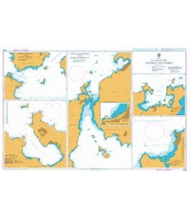
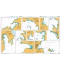
British Admiralty Nautical Chart 1539 Plans in the Central Kyklades
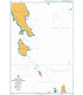
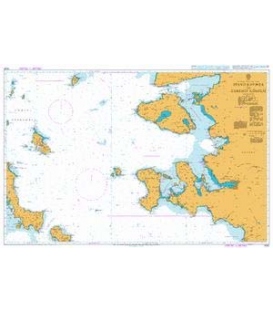
is corrected up to date. Admiralty standard nautical charts comply with Safety of Life at Sea (SOLAS) regulations and are ideal for professional, commercial and recreational use. Charts within the series consist of a range of scales, useful for passage planning, ocean crossings, coastal navigation and entering port. Mariners should always use the largest scale nautical chart appropriate to their needs. In particularly busy seaways such as the English Channel, Gulf of Suez and the Malacca and Singapore Straits, the standard nautical charts are supplemented by mariners routeing guides which provide advice on route planning in these complex areas.
Chart 1539
Main Chart Details
- Chart Title: Plans in the Central Kyklades
- Publication Date: 11/11/1994
- Latest Edition date: 09/05/2013
- Chart Size: 1020 x 650 (mm)
Chart Panel Details
- Panel Name A Stena Kimolou with Ormos Voudia
- Natural Scale 25000
- North Limit 36 47'.71N
- East Limit 24 36'.81E
- South Limit 36 44'.13N
- West Limit 24 30'.96E
- Panel Name B Steno Antiparou with Ormos Paroikias
- Natural Scale 25000
- North Limit 37 06'.14N
- East Limit 25 09'.47E
- South Limit 36 57'.35N
- West Limit 25 03'.46E
- Panel Name C Paroikia
- Area Name Nisos Paros
- Natural Scale 5000
- North Limit 37 05'.40N
- East Limit 25 09'.35E
- South Limit 37 05'.06N
- West Limit 25 08'.76E
- Panel Name D Ormos Naousis
- Area Name Nisos Paros
- Natural Scale 25000
- North Limit 37 09'.94N
- East Limit 25 17'.22E
- South Limit 37 06'.83N
- West Limit 25 12'.26E
- Panel Name E Ormos Naxou
- Area Name Nisos Naxos
- Natural Scale 15000
- North Limit 37 07'.24N
- East Limit 25 22'.94E
- South Limit 37 04'.93N
- West Limit 25 19'.96E
- Panel Name F Ormos Milou
- Area Name Nisos Milos
- Natural Scale 30000
- North Limit 36 47'.34N
- East Limit 24 28'.47E
- South Limit 36 41'.26N
- West Limit 24 21'.46E