Sign up for our Newsletter
")
")
")
")


More info
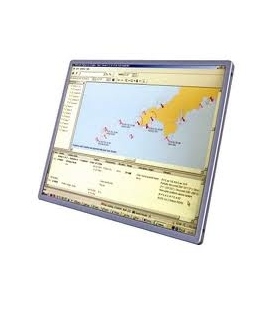
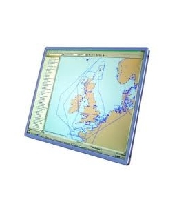
Admiralty Raster Chart Service (ARCS)
Provides cost effective, official digital chart coverage for use in conjunction with the Admiralty range of paper navigational charts. Please contact us for specific coverage & pricing.
ARCS Overview:
AVCS Overview: The Admiralty Vector Chart Service (AVCS) brings together Electronic Navigational Charts (ENCs) from national Hydrographic offices around the world and new ENC coverage produced by UKHO in co-operation with Foreign Governments to provide comprehensive, official, worldwide coverage.
All ARCS charts have the same familiar image and use the same internationally recognised symbology as Admiralty paper charts - making them the easy first step from chart table to electronic navigation.