

Sign up for our Newsletter
Top sellers
-
-
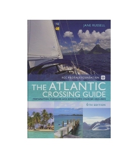
Atlantic Crossing Guide, 6th Edition 2010
$74.95Imray-Iolaire Nautical Charts Imray-Iolaire Publications Stock code RB0015, Publisher Adlard Coles Nautical, ISBN 9781408113806, Edition 6th (2010), Hardback 240 pages. 297x210 mm.
-
CFR Title 49 Parts 1000-1199 Transportation Revised as of October 1, 2024
$21.85ISBN: 978-1-68388-047-9 (9781683880479)
-
1008W Maritime Progress Poster, Preventing oil spills
$18.47475 x 330mm; White, self adhesive vinyl
-
-
-
4057 Lifebuoy with line - without text
Size: 150 X 150mm Materials: Photoluminescent Self-adhesive vinyl *** Canceled, replaced by 4857
-
-
4322 Assembly station + symbol + arrow diagonally up left
$8.78Size 150 X 300mm Material Photoluminescent Self-adhesive vinyl
-
4323 Assembly station + symbol + arrow diagonally up right
$8.78Size 150 X 300mm Material Photoluminescent Self-adhesive vinyl
-
4426 Maritime Progress Arrow Rotatable to point up, down, left or right
$6.99Size75 X 250mmMaterialPhotoluminescent Self-adhesive vinyl
-
6867 Emergency source of electrical power (battery)
$6.40Size 150 X 150mm Material Photoluminescent Self-adhesive vinyl
-
Imray Chart A23: Virgin Islands and St Croix
$33.29Online Chart Viewer Plans: Christiansted, Port Alucroix & Limetree Bay, Frederiksted, Green Cay Marina, Road Harbour and Charlotte Amalie.
-
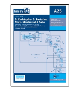
Imray Chart A25: St Eustatius, Nevis, St Christopher, Montserrat & Saba
$33.29Online Chart Viewer Various scalesIncludes insets:Saba (1:30 000)Monserrat (1:100 000)Plans included:Fort Baai (Saba)Basseterre Bay (St Kitts)The NarrowsCharlestown (Nevis)Oranjebaai (St Eustatius)
-
Imray Chart B: Martinique to Trinidad
$33.29Online Chart Viewer Lesser Antilles - Windward IslandsPassage Chart
-
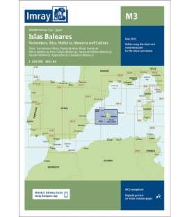
Imray Chart M3: Islas Baleares, 2023 Edition
$38.66Online Chart Viewer Stock code: ICM3-4 Author: Imray Publisher: Imray Publication details: Sheet size 640 x 900mm. Waterproof. Folded in plastic wallet or flat. Edition date: 2023 Printed and corrected to: March 2023 ISBN: 9781786794345

