Sign up for our Newsletter
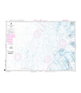
East Rockaway Inlet to Shinnecock Inlet. Featuring waypoints for major buoys, courses and distances, and ramp locations and information. 24" x 36", scale 1:48,193 with insets.
Peconic Bays, Shelter Island, Gardiners Bay, Plum Gut, Napeague Bay, and Montauk area. Featuring GPS Waypoints, courses and distances, ramp locations, and fishing and wreck sites. 24" x 36", scale 1:50,000 with insets.
ISBN: 9780743612081
Ten Thousand Islands to Charlotte Harbor. Featuring waypoints for major buoys, courses and distances, 50 fishing sites, anchorages, and ramp locations. 24" x 36", scale 1:106,666 with insets.
*** Discontinued, no longer published (circa Fall 2020)
This chart covers the myriad islands, harbors, and passages from Eggemoggin Reach and Eastern Penobscot Bay to Bar Harbor. Features: waypoints for major buoys, courses and distances, and ramp locations. 24" x 36", scale 1:47,000, with insets.
*** Discontinued circa Apr. 2019, no longer available
The chart for offshore fishing & cruising! Coverage from Delaware Bay to Georgia to 150 miles offshore. Over 30 pre-plotted GPS waypoints assigned to major aids to navigation along the coast to assist your voyage planning. Approximate scale 1:600,000.
*** Discontinued, circa spring 2019
*** BSB/Raster Charts are no longer available use ENC/Vector Charts.
Maryland Nautical uses cookies to enhance your e-commerce experience. To view more information about our cookie use, click here to view our Privacy Policy.