

Sign up for our Newsletter
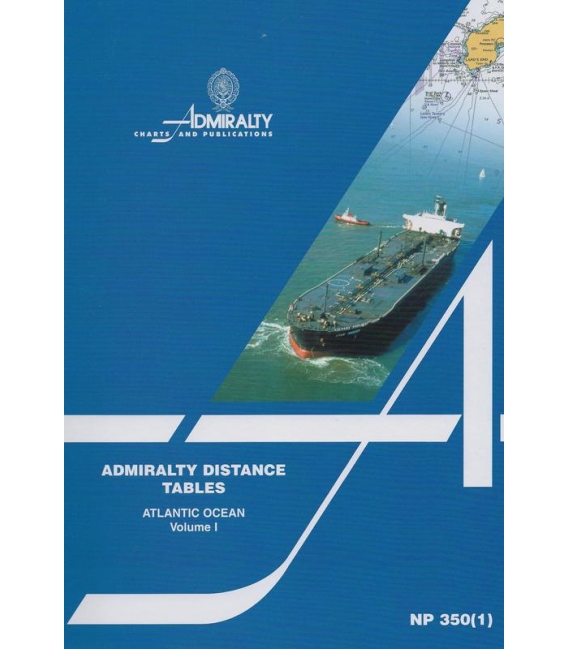
NP350(1) Admiralty Distance Tables Atlantic Ocean Volume 1, 2nd Edition 2011
ISBN:978-0-70-774-1314 (9780707741314)
| Admiralty Chart Catalogue | Admiralty Publications | |
 |
 |
More info
NP350(1) Admiralty Distance Tables Atlantic Ocean Volume 1, 2nd Edition 2011
Covering:
North Atlantic Ocean, South Atlantic Ocean, North-west Europe, Mediterranean, Caribbean & Gulf of Mexico
The Admiralty Distance Tables are a three part series of tables, sub-divided by region, giving the shortest distances between ports. There are supporting diagrams and text as well as link tables for places not in the same or adjacent table.
NP350(1)
Publication Details
- Number NP350(1)
- Title Admiralty Distance Tables Atlantic Ocean
- Sub Title n/a
- Type Distance Tables
- SubType
- Edition No
- Pub Year 2012

