Sign up for our Newsletter
Nautical Charts
We have in stock worldwide selection of Nautical Charts - British Admiralty, OceanGrafix NOAA print on demand charts, Canadian Hydrographic Service & much more. Maryland Nautical Sales is one of the largest nautical chart agents in the United States
For Frequently Asked Questions about NOAA OceanGrafix Charts Click Here!
*** NOTE: ALL BA CHARTS ARE FOLDED FOR SHIPPING PURPOSES. IF YOU DO NOT WANT YOUR CHART FOLDED CONTACT OUR OFFICE. ***
Subcategories
-
British Admiralty...
Click on the region (e.g. AA, A2, B, C...) to view the online chart catalog and to order.
Print-on-Demand British Admiralty Charts On-site production at Maryland Nautical Sales
-

OceanGrafix NOAA...
OceanGrafix, an experienced producer of digital print materials, has partnered with the National Oceanic and Atmospheric Administration (NOAA) to provide commercial and recreational mariners with the most up-to-date nautical charts ever offered!
Charts are printed only after an order has been received, ensuring the most up-to-date information is applied at the time of printing. All OceanGrafix NOAA charts are rolled. -

NOAA Nautical Training...
Nautical training charts are outdated nautical charts used for educational purposes in training classes for small-boat operators. Relevant pages of symbols and abbreviations from Chart No. 1 are printed on the reverse side of some of the training charts.
-
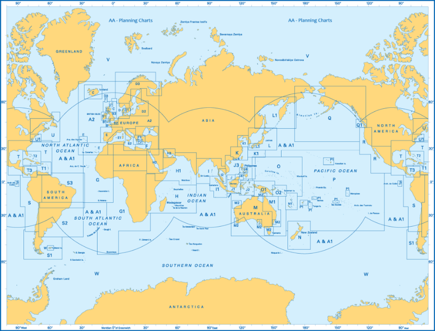
NGA (Formerly DMA,...
-
Canadian Hydrographic...
Canadian Hydrographic Service (CHS) produces and publishes almost 1,000 nautical charts covering Canadian waters. Nautical charts show hazards, aids to navigation, features along the shoreline and the seafloor, as well as man-made and natural features of the area.
-

Imray-Iolaire Nautical...
Waterproof Paper: All Imray charts are printed on Pretex, a partially synthetic paper, which folds well and is durable in damp conditions. It may be drawn on in both soft pencil and ballpoint pen. Imray charts are normally published to an approximately A4 fold format and supplied in robust PVC wallets. Flat sheets are available on request.
Datums and Printing History: All Imary charts are now based on WGS 84 datum as indicated in the catalogue. Apart from some of the Imray-Iolaire charts of the Caribbean Sea, all are metric. Every chart includes details of the datum and projection on which it was based, to allow it to be used safely with satellite navigation systems.
Sheet Sizes: C charts: 787 x 1118mm (31" x 44") • Others: 640 x 900mm (25" x 35½") • 2000 series: A2 590 x 420mm -
OceanGrafix French...
***We are currently in the process of adding charts to the website. If there is a chart in the catalog that you do not see on our site please email us.

-

Japan Hydrographic...
-
OceanGrafix Norwegian...
St. Paul, MN—August 25, 2011—OceanGrafix, the first and only company to offer NOAA print-on-demand (POD) nautical charts, announced today that they are now authorized to print and distribute nautical charts for Norway. Updated every two weeks, the new PODs add 100+ charts to OceanGrafix’ extensive suite of over 4000 charts.
-

SEMAR (Mexican) Charts
The Official Mexican Hydrographic Office charts (SEMAR - Secretaría de Marina Armada de México) produces charts for the coastline and coastal waters of Mexico.
-
OceanGrafix...
The topography under the water
Bathymetric charts by OceanGrafix provide the submerged equivalent of above-water topographic maps. They are designed to present an accurate, measurable description and visual presentation of the submerged terrain. -
OceanGrafix Historical...
-
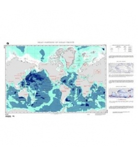
Atlas of Pilot Charts
-
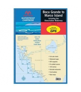
Chart Books
-
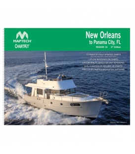
Chart Kits
-
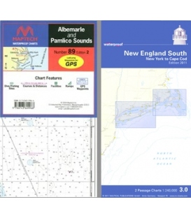
Waterproof Charts
-

Chart Correction Kit
-
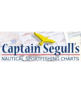
Captain Segull's...
Captain Segull's Charts are designed for the serious sport fisherman. All charts are laminated, waterproof and in full color. Average chart size is 19.5" X 26.5". Charts highlight: latitude and longitude (GPS), Loran lines, contour lines, shore services such as fuel docks, loading ramps, pump-out stations and restaurants. Also highlighted are fishing holes with local names, coordinates of buoys, inlets, reefs, rigs and wrecks.
-
Plotting Sheets
Charts 920 to 936 (overall size, 36 inches by 48 inches). Scale 1" longitude equals 4 inches
-
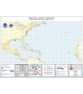
Hurricane Charts by...
-
Maritime Boundary Map
-
Egyptian Navy...
Egyptian Navy Hydrographic Department Suez Canal Charts Print on Demand Nautical Charts
-
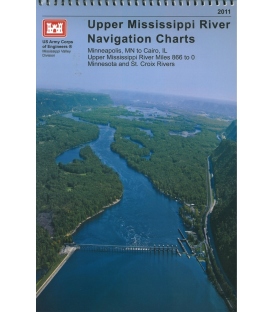
US Army Corps of...
US Army Corps of Engineers
-
British Admiralty Nautical Chart 8133 Port Approach Guide Lisboa (West)
$53.55Canceled w/o replacement
-
British Admiralty Nautical Chart 8178 Port Approach Guide Beyrouth (Beirut)
WITHDRAWN W/O REPLACEMENT (NM24/21)
-
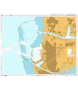
British Admiralty Nautical Chart 783: Curacao Sint Annabaai and Schottegat
$46.95CuracaoSint Annabaai & Schottegat (10,000)Caracasbaai, Spaanse Water & Fuikbaai (15,000) (Published jointly by the UKHO & the Hydrographer of the Royal Netherlands Navy) Edition: Mar 2022